UN/LOCODE hub · Canada
CAFSK
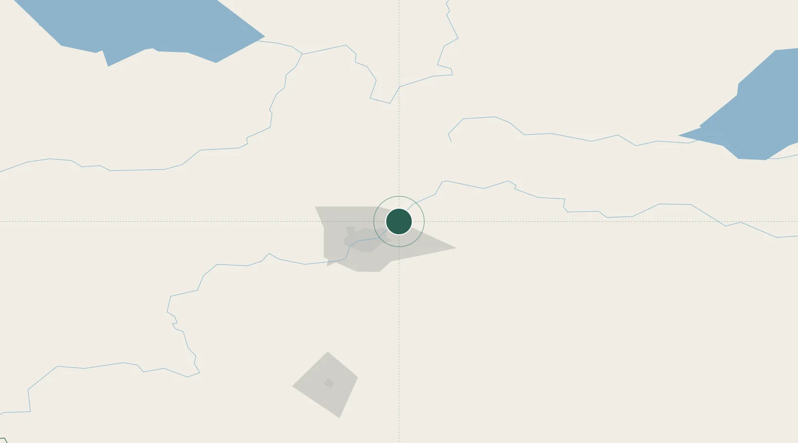
Fort Saskatchewan
53.7000°, -113.2000°
14,957
Population
2
Transport functions
Transport Functions
Rail
Road
Hub Profile
Place type
Populated place
Region
Alberta
Population
14,957
Time zone
America/Edmonton
Elevation
627 m
Location
Nearby Logistics Neighbours
Cities
- 1Gibbons16 km
- 2Lancaster Park19 km
- 3Bruderheim22 km
- 4Redwater28 km
- 5Saint Albert30 km
Ports
- 1Mission City806 km
- 2Port Coquitlam827 km
- 3Port Moody830 km
- 4Fraser Mills833 km
- 5New Westminster838 km
Airports
- 1Edmonton International Airport50 km
- 2Bonnyville Airport174 km
- 3Red Deer Regional Airport175 km
- 4Whitecourt Airport176 km
- 5Slave Lake Airport204 km
Trade Zones
- 1Port Alberta - Edmonton FTZ11 km
- 2Calgary Region Inland Port301 km
- 3FTZ No. 187 Toole County570 km
- 4FTZ No. 242 Boundary County605 km
- 5PrInce George Logistics Park627 km
DatabookThe Record of Consolidated Knowledge
Canada beyond logistics?