Transport Functions
Multimodal
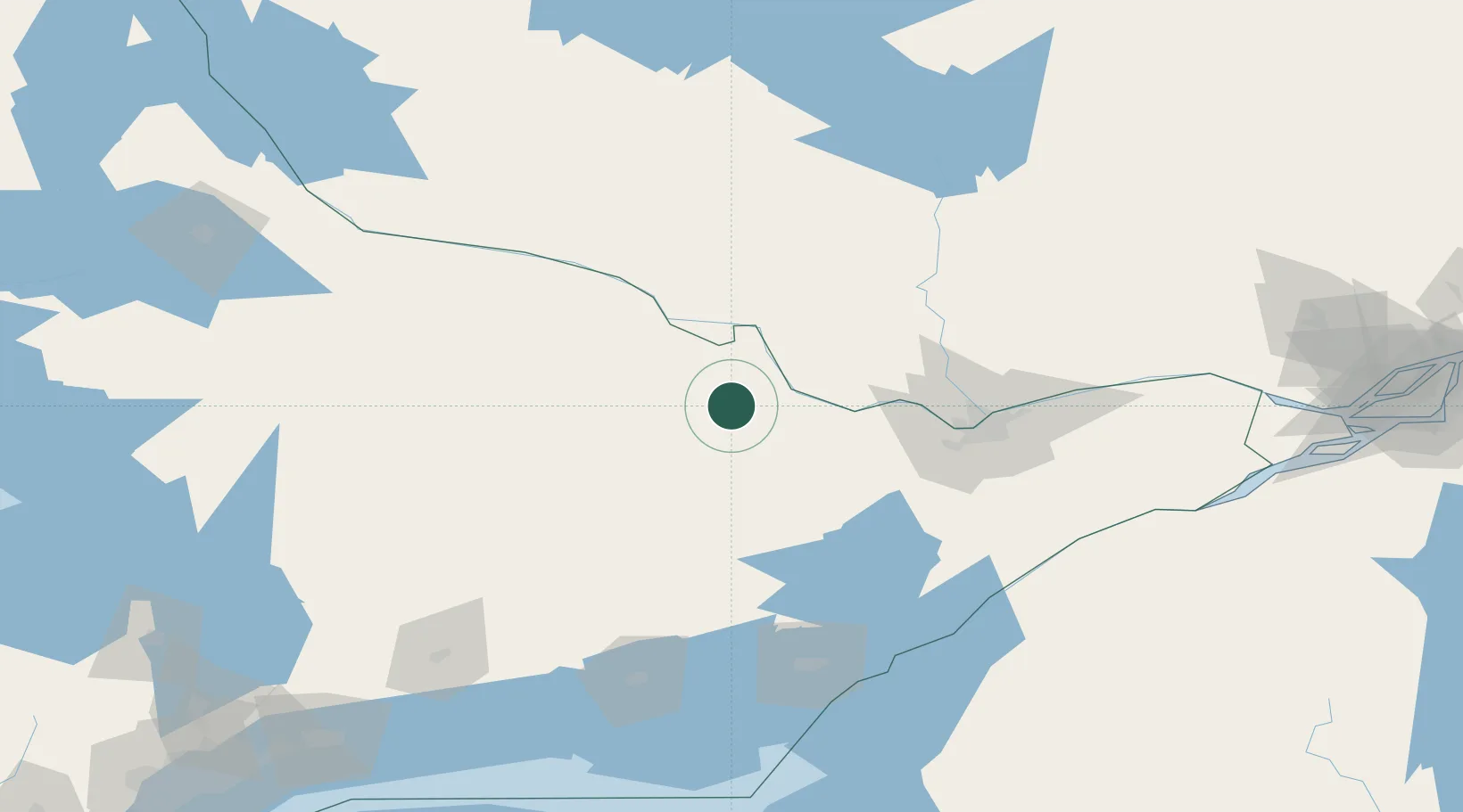
Hub Profile
Place type
Populated place
Region
New Brunswick
Time zone
America/Moncton
Elevation
22 m
Location
Nearby Logistics Neighbours
Cities
- 1Renfrew20 km
- 2Ompah54 km
- 3Almonte65 km
- 4Wakefield80 km
- 5Stittsville84 km
Ports
- 1Hull97 km
- 2Ottawa97 km
- 3Gatineau100 km
- 4Masson118 km
- 5Cumberland120 km
Airports
Trade Zones
- 1FTZ No. 118 Ogdensburg142 km
- 2FTZ No. 109 Watertown187 km
- 3FTZ No. 090 Onondaga230 km
- 4FTZ No. 141 Monroe County260 km
- 5FTZ No. 172 Oneida County261 km
DatabookThe Record of Consolidated Knowledge
Canada beyond logistics?