Transport Functions
Rail
Road
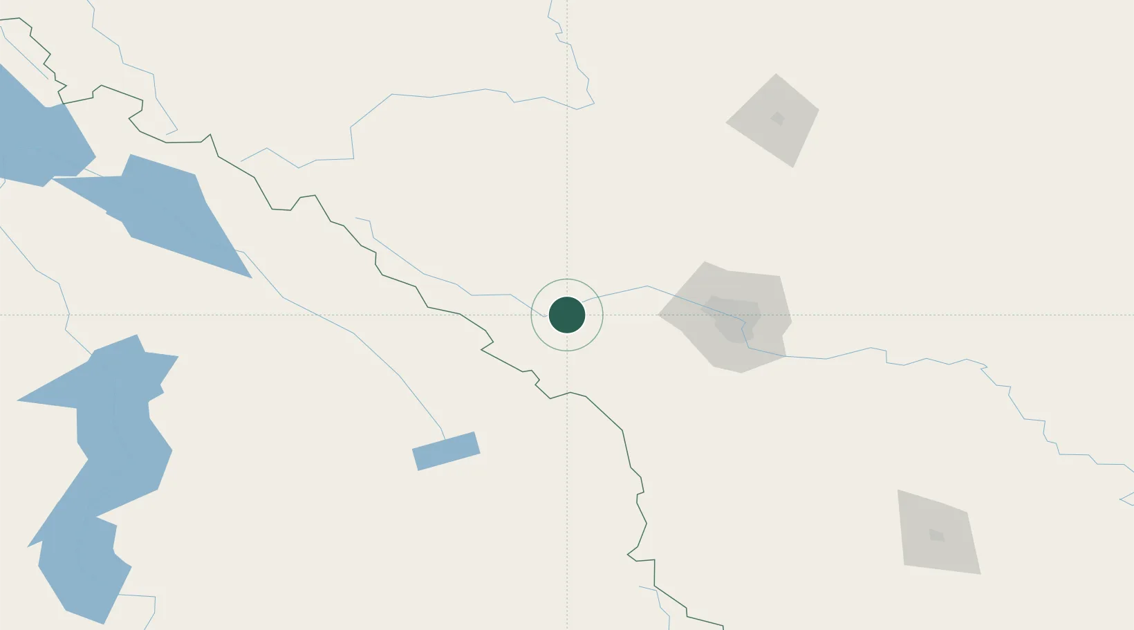
Hub Profile
Place type
Populated place
Region
Alberta
Population
249
Time zone
America/Edmonton
Elevation
1,337 m
Location
Nearby Logistics Neighbours
Cities
- 1Exshaw2 km
- 2Balzac79 km
- 3Calgary82 km
- 4Radium Hot Springs83 km
- 5Lake Louise85 km
Ports
- 1Mission City552 km
- 2Port Coquitlam582 km
- 3Port Moody587 km
- 4Bellingham588 km
- 5Fraser Mills588 km
Airports
Trade Zones
- 1Calgary Region Inland Port73 km
- 2FTZ No. 242 Boundary County285 km
- 3Port Alberta - Edmonton FTZ310 km
- 4FTZ No. 187 Toole County340 km
- 5FTZ No. 224 Spokane414 km
DatabookThe Record of Consolidated Knowledge
Canada beyond logistics?