Transport Functions
Rail
Road
Hub Profile
Place type
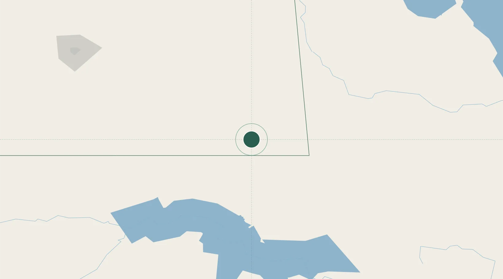
Populated place
Region
Saskatchewan
Population
1,058
Time zone
America/Regina
Elevation
582 m
Location
Nearby Logistics Neighbours
Cities
- 1North Portal37 km
- 2Bienfait47 km
- 3Carlyle47 km
- 4Pierson66 km
- 5Macoun81 km
Ports
- 1Duluth796 km
- 2Superior800 km
- 3Two Harbors817 km
- 4Bayfield885 km
- 5Washburn886 km
Airports
Trade Zones
- 1Global Transportation Hub Authority230 km
- 2Winnipegs Centreport Canada370 km
- 3FTZ No. 103 Grand Forks395 km
- 4FTZ No. 267 Fargo467 km
- 5FTZ No. 259 Koochiching County585 km
DatabookThe Record of Consolidated Knowledge
Canada beyond logistics?