Transport Functions
Rail
Road
Hub Profile
Place type
Populated place
Region
Manitoba
Time zone
America/Winnipeg
Elevation
469 m
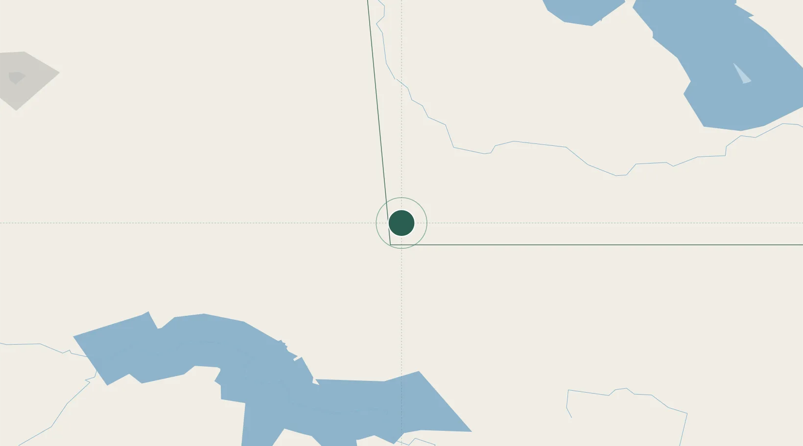
Location
Nearby Logistics Neighbours
Ports
- 1Duluth733 km
- 2Superior737 km
- 3Two Harbors753 km
- 4Bayfield821 km
- 5Grand Marais821 km
Airports
Trade Zones
- 1Global Transportation Hub Authority287 km
- 2Winnipegs Centreport Canada308 km
- 3FTZ No. 103 Grand Forks333 km
- 4FTZ No. 267 Fargo411 km
- 5FTZ No. 259 Koochiching County520 km
DatabookThe Record of Consolidated Knowledge
Canada beyond logistics?