Transport Functions
Multimodal
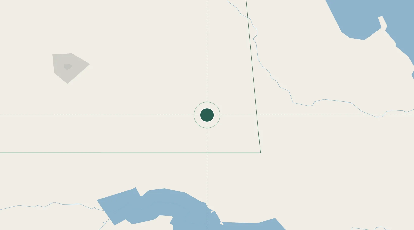
Hub Profile
Place type
Populated place
Region
Saskatchewan
Population
1,508
Time zone
America/Regina
Elevation
630 m
Location
Nearby Logistics Neighbours
Cities
- 1Langbank46 km
- 2Oxbow47 km
- 3Bienfait66 km
- 4Moosomin70 km
- 5North Portal73 km
Ports
- 1Duluth817 km
- 2Superior821 km
- 3Two Harbors836 km
- 4Grand Marais900 km
- 5Bayfield904 km
Airports
- 1Estevan Airport69 km
- 2Virden / RJ (Bob) Andrew Field Regional Aerodrome101 km
- 3Minot Air Force Base151 km
- 4Minot International Airport169 km
- 5Yorkton Municipal Airport182 km
Trade Zones
- 1Global Transportation Hub Authority199 km
- 2Winnipegs Centreport Canada369 km
- 3FTZ No. 103 Grand Forks419 km
- 4FTZ No. 267 Fargo499 km
- 5FTZ No. 259 Koochiching County600 km
DatabookThe Record of Consolidated Knowledge
Canada beyond logistics?