Transport Functions
Rail
Road
Hub Profile
Place type
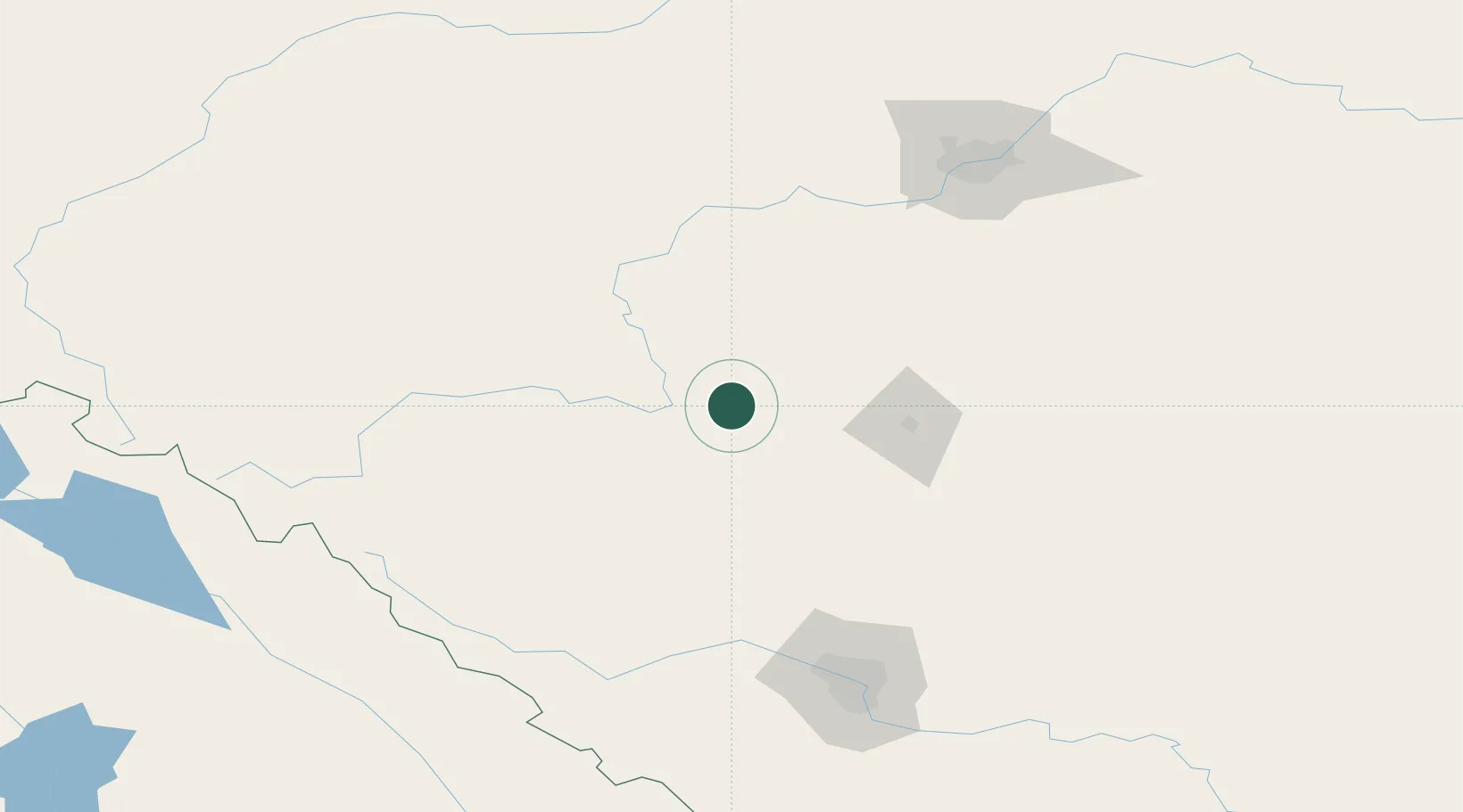
Populated place
Region
Alberta
Time zone
America/Edmonton
Elevation
983 m
Location
Nearby Logistics Neighbours
Cities
- 1Sylvan Lake40 km
- 2Olds65 km
- 3Winfield69 km
- 4Leire69 km
- 5Wimborne93 km
Ports
- 1Mission City643 km
- 2Port Coquitlam667 km
- 3Port Moody671 km
- 4Fraser Mills673 km
- 5New Westminster678 km
Airports
- 1Red Deer Regional Airport56 km
- 2Edmonton International Airport128 km
- 3Calgary / Springbank Airport142 km
- 4Calgary International Airport146 km
- 5Edson Airport181 km
Trade Zones
- 1Calgary Region Inland Port152 km
- 2Port Alberta - Edmonton FTZ167 km
- 3FTZ No. 242 Boundary County430 km
- 4FTZ No. 187 Toole County450 km
- 5FTZ No. 224 Spokane559 km
DatabookThe Record of Consolidated Knowledge
Canada beyond logistics?