Transport Functions
Rail
Road
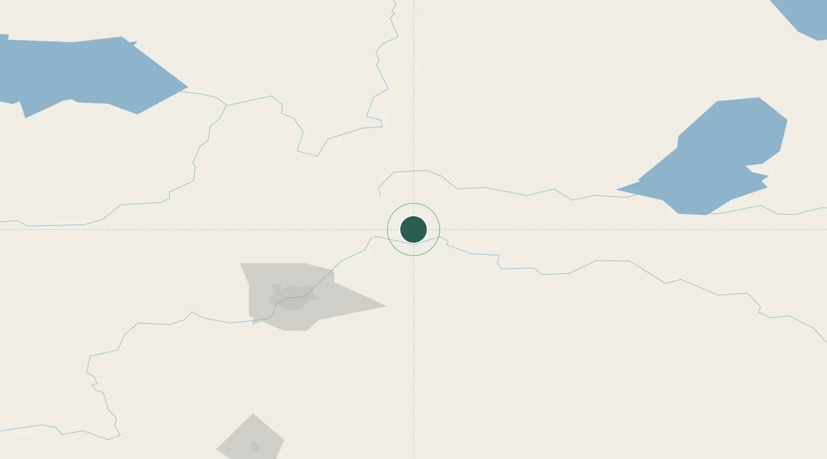
Hub Profile
Place type
Populated place
Region
Alberta
Population
1,063
Time zone
America/Edmonton
Elevation
618 m
Location
Nearby Logistics Neighbours
Cities
- 1Newbrook39 km
- 2Thorhild43 km
- 3Bruderheim46 km
- 4Redwater46 km
- 5Two Hills65 km
Ports
- 1Mission City872 km
- 2Port Coquitlam893 km
- 3Port Moody895 km
- 4Fraser Mills898 km
- 5New Westminster903 km
Airports
- 1Bonnyville Airport114 km
- 2Edmonton International Airport116 km
- 3CFB Cold Lake146 km
- 4Lloydminster Airport181 km
- 5Slave Lake Airport198 km
Trade Zones
DatabookThe Record of Consolidated Knowledge
Canada beyond logistics?