Transport Functions
Multimodal
Hub Profile
Place type
Populated place
Region
Alberta
Time zone
America/Edmonton
Elevation
585 m
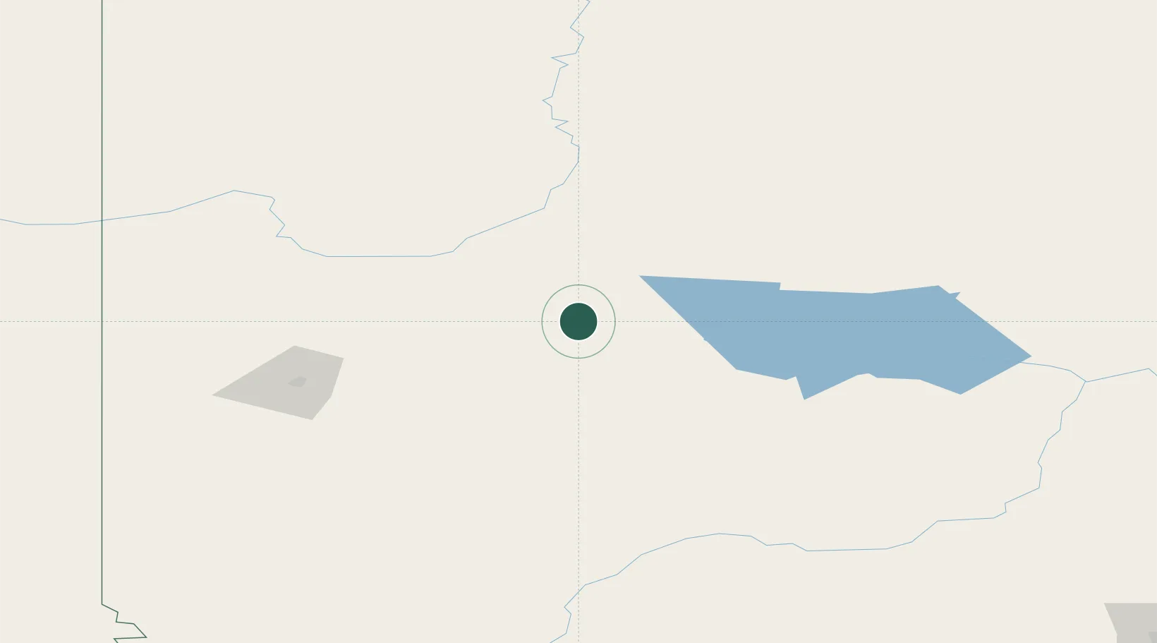
Location
Nearby Logistics Neighbours
Cities
- 1McLennan23 km
- 2Girouxville28 km
- 3Grimshaw80 km
- 4Sexsmith108 km
- 5Spirit River111 km
Ports
- 1Mission City791 km
- 2Port Mellon795 km
- 3Port Moody797 km
- 4Port Coquitlam798 km
- 5Fraser Mills802 km
Airports
- 1Peace River Airport80 km
- 2Grande Prairie Airport119 km
- 3Slave Lake Airport150 km
- 4Whitecourt Airport176 km
- 5Dawson Creek Airport194 km
Trade Zones
- 1Port Alberta - Edmonton FTZ323 km
- 2PrInce George Logistics Park404 km
- 3Calgary Region Inland Port538 km
- 4FTZ No. 242 Boundary County755 km
- 5FTZ Vancouver Island808 km
DatabookThe Record of Consolidated Knowledge
Canada beyond logistics?