Transport Functions
Port
Rail
Road
Multimodal
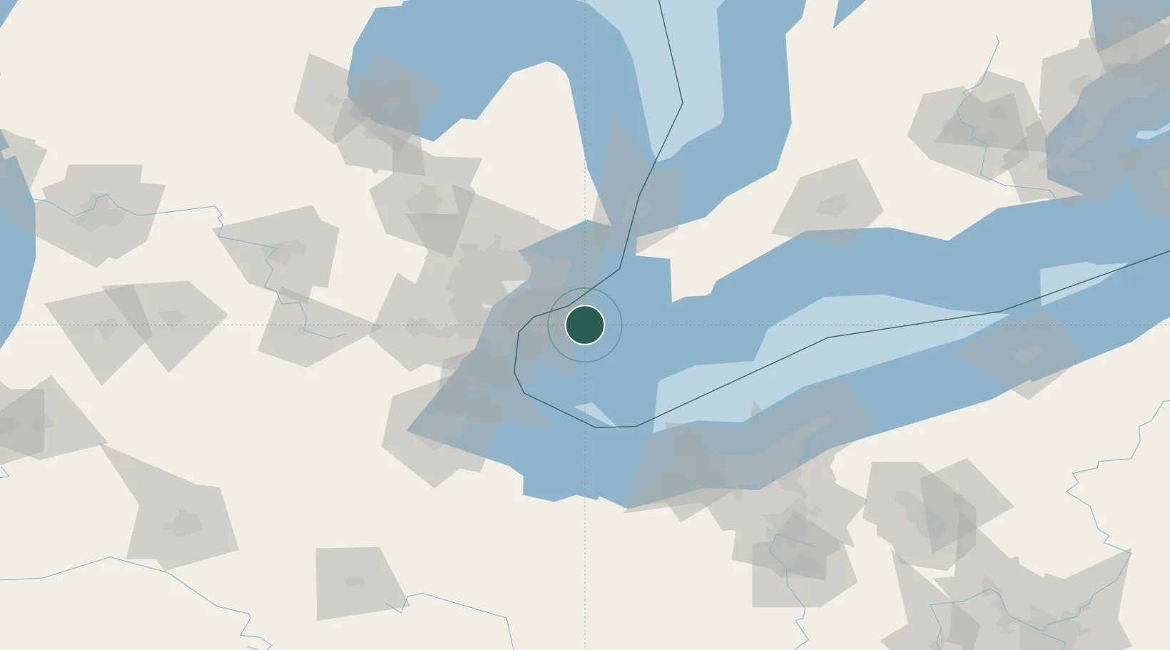
Hub Profile
Place type
Populated place
Region
Ontario
Time zone
America/Toronto
Elevation
182 m
Location
Nearby Logistics Neighbours
Cities
- 1Emeryville3 km
- 2Maidstone14 km
- 3Grosse Point Woods22 km
- 4McGregor23 km
- 5Saint Clair Shores25 km
Ports
- 1Windsor25 km
- 2Detroit25 km
- 3Kingsville30 km
- 4Leamington30 km
- 5Wyandotte36 km
Airports
Trade Zones
- 1Windsor - Essex Foreign Trade Zone24 km
- 2FTZ No. 070 Detroit42 km
- 3FTZ No. 210 St. Clair County63 km
- 4FTZ No. 008 Toledo96 km
- 5FTZ No. 040 Cleveland114 km
DatabookThe Record of Consolidated Knowledge
Canada beyond logistics?