UN/LOCODE hub · United States
USGPW

Grosse Point Woods

42.4333°, -82.9000°
2
Transport functions

Transport Functions

Port
Multimodal
UN/LOCODE

Hub Profile

Region
MI
GeoNames

Location

Location of USGPW
Natural Earth 10m (public domain) · MI · USGPW · 42.43, -82.90GoogleOSMYandex

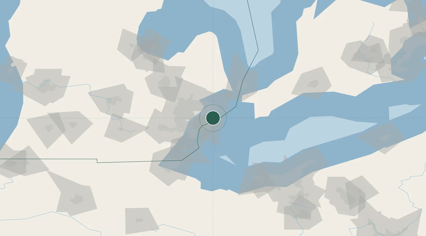
Nearby Logistics Neighbours

Cities
  1. 1Saint Clair Shores6 km
  2. 2Center Line11 km
  3. 3Hazel Park17 km
  4. 4Emeryville18 km
  5. 5Lakeshore22 km
Nearest neighbours — logibook spatial index (haversine) over the source coordinates
Ports
  1. 1Detroit16 km
  2. 2Windsor17 km
  3. 3Wyandotte33 km
  4. 4Algonac37 km
  5. 5Trenton40 km
Nearest neighbours — logibook spatial index (haversine) over the source coordinates
Airports
  1. 1Coleman A. Young Municipal Airport9 km
  2. 2Windsor International Airport18 km
  3. 3Selfridge Air National Guard Base Airport21 km
  4. 4Detroit Metropolitan Wayne County Airport45 km
  5. 5Oakland County International Airport50 km
Nearest neighbours — logibook spatial index (haversine) over the source coordinates
Trade Zones
  1. 1Windsor - Essex Foreign Trade Zone17 km
  2. 2FTZ No. 070 Detroit29 km
  3. 3FTZ No. 210 St. Clair County54 km
  4. 4FTZ No. 140 Flint96 km
  5. 5FTZ No. 008 Toledo101 km
Nearest neighbours — logibook spatial index (haversine) over the source coordinates
DatabookThe Record of Consolidated Knowledge
United States beyond logistics?
Browse databook

All Sources

LocationsUN/LOCODE
UN/LOCODE — free
Portsthe NGA World Port Index
Public domain (US gov)
AirportsOurAirports
Public domain
Trade Zonesthe World Bank SEZ database
CC BY 4.0
Trade ZonesOpen Zone Map
CC BY
← United States locations