UN/LOCODE hub · Canada
CAEYV

Emeryville

42.3000°, -82.7667°
3
Transport functions

Transport Functions

Rail
Road
Multimodal
UN/LOCODE

Hub Profile

Region
ON
GeoNames

Location

Location of CAEYV
Natural Earth 10m (public domain) · ON · CAEYV · 42.30, -82.77GoogleOSMYandex

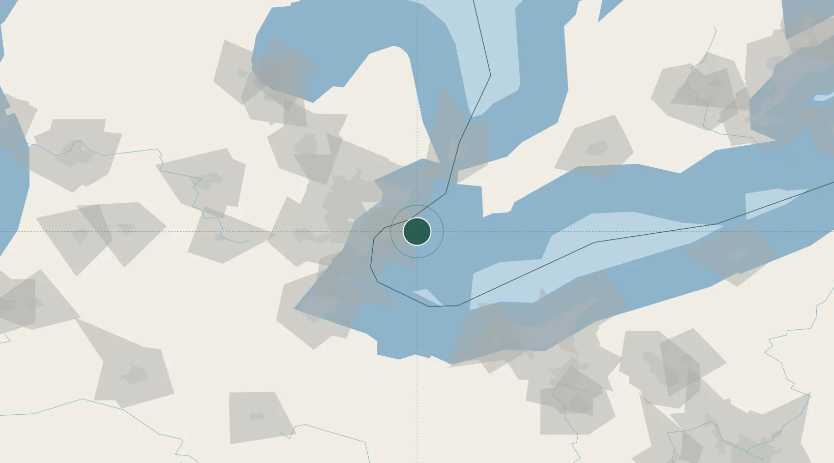
Nearby Logistics Neighbours

Cities
  1. 1Lakeshore3 km
  2. 2Maidstone13 km
  3. 3Grosse Point Woods18 km
  4. 4McGregor23 km
  5. 5Saint Clair Shores23 km
Nearest neighbours — logibook spatial index (haversine) over the source coordinates
Ports
  1. 1Windsor22 km
  2. 2Detroit22 km
  3. 3Kingsville32 km
  4. 4Leamington33 km
  5. 5Wyandotte34 km
Nearest neighbours — logibook spatial index (haversine) over the source coordinates
Airports
  1. 1Windsor International Airport16 km
  2. 2Coleman A. Young Municipal Airport23 km
  3. 3Selfridge Air National Guard Base Airport35 km
  4. 4Detroit Metropolitan Wayne County Airport49 km
  5. 5Pelee Island Airport59 km
Nearest neighbours — logibook spatial index (haversine) over the source coordinates
Trade Zones
  1. 1Windsor - Essex Foreign Trade Zone22 km
  2. 2FTZ No. 070 Detroit39 km
  3. 3FTZ No. 210 St. Clair County62 km
  4. 4FTZ No. 008 Toledo96 km
  5. 5FTZ No. 140 Flint114 km
Nearest neighbours — logibook spatial index (haversine) over the source coordinates
DatabookThe Record of Consolidated Knowledge
Canada beyond logistics?
Browse databook

All Sources

LocationsUN/LOCODE
UN/LOCODE — free
Portsthe NGA World Port Index
Public domain (US gov)
AirportsOurAirports
Public domain
Trade Zonesthe World Bank SEZ database
CC BY 4.0
Trade ZonesOpen Zone Map
CC BY
← Canada locations