Transport Functions
Rail
Road
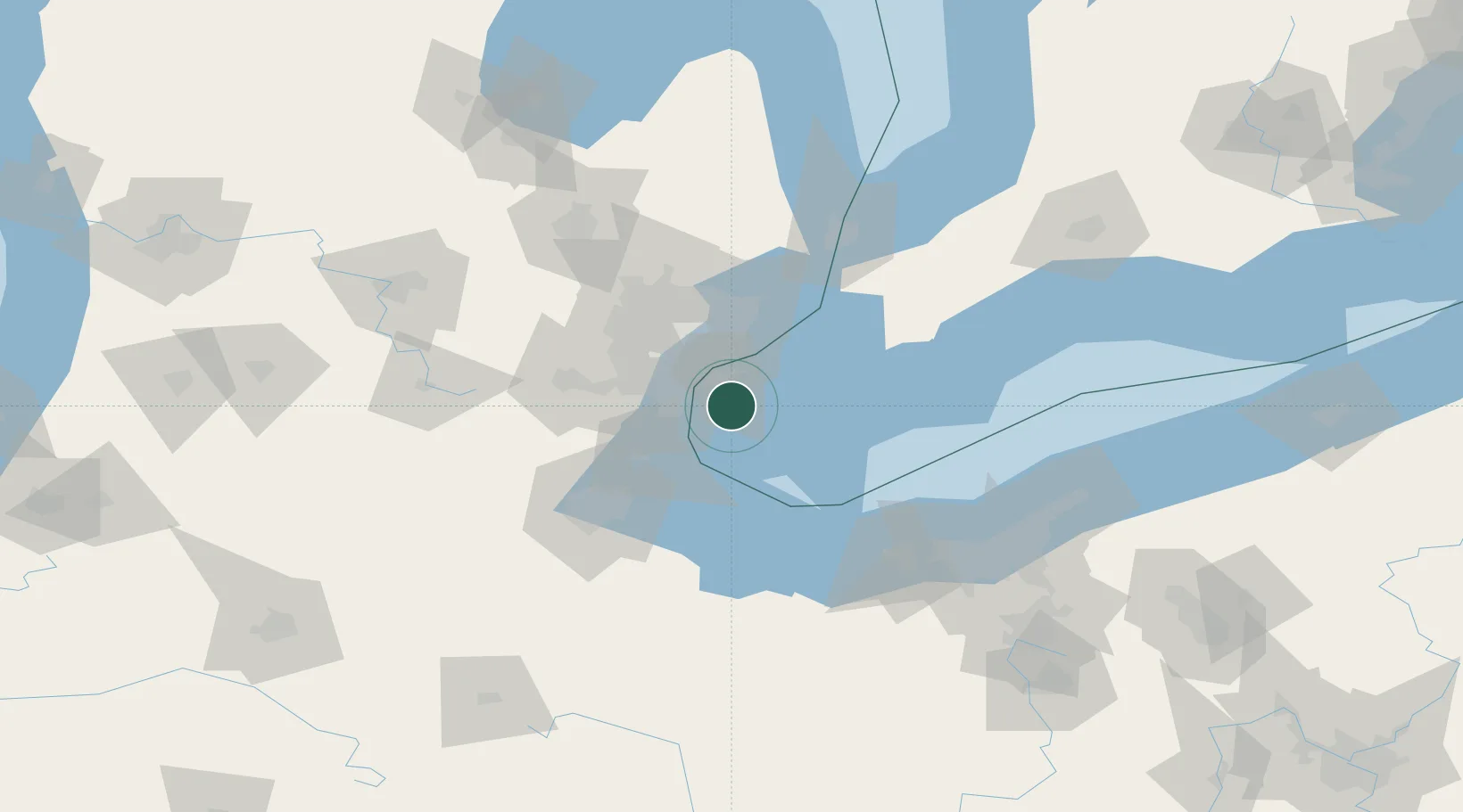
Hub Profile
Place type
Populated place
Region
Ontario
Time zone
America/Toronto
Elevation
182 m
Location
Nearby Logistics Neighbours
Cities
- 1Maidstone9 km
- 2Gibraltar21 km
- 3Melvindale22 km
- 4Emeryville23 km
- 5Lakeshore23 km
Ports
- 1Amherstburg14 km
- 2Wyandotte17 km
- 3Trenton18 km
- 4Windsor20 km
- 5Detroit22 km
Airports
Trade Zones
- 1Windsor - Essex Foreign Trade Zone20 km
- 2FTZ No. 070 Detroit33 km
- 3FTZ No. 008 Toledo73 km
- 4FTZ No. 210 St. Clair County83 km
- 5FTZ No. 040 Cleveland117 km
DatabookThe Record of Consolidated Knowledge
Canada beyond logistics?