UN/LOCODE hub · United States
USCS4
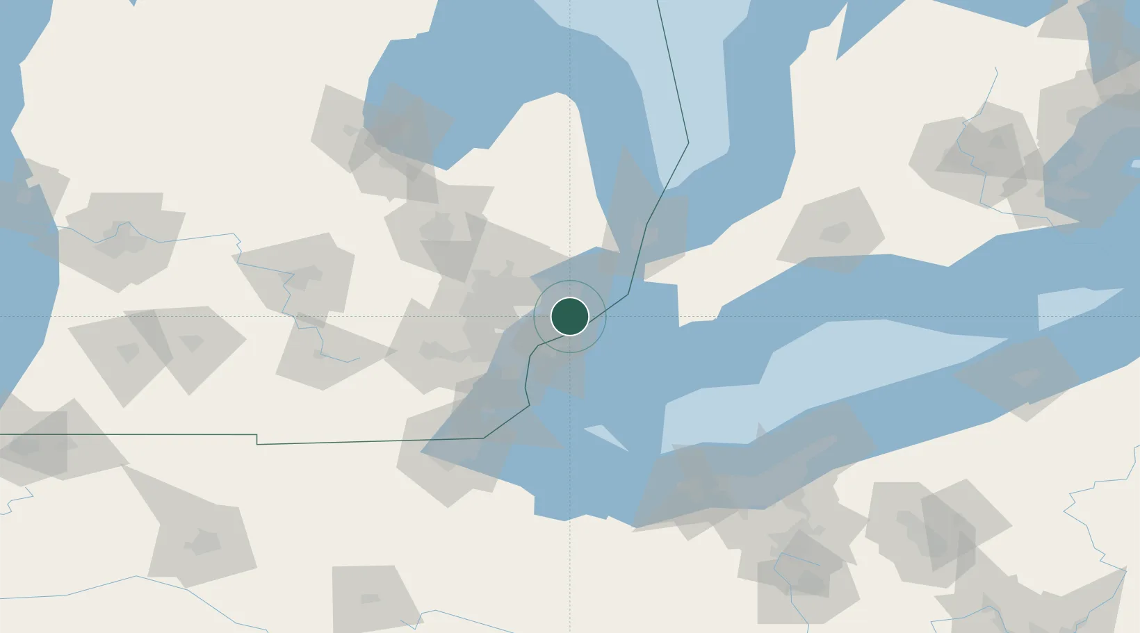
Saint Clair Shores
42.4833°, -82.8833°
59,715
Population
3
Transport functions
Transport Functions
Port
Road
Multimodal
Hub Profile
Place type
Populated place
Region
Michigan
Population
59,715
Time zone
America/Detroit
Elevation
177 m
Location
Nearby Logistics Neighbours
Cities
- 1Grosse Point Woods6 km
- 2Center Line11 km
- 3Hazel Park18 km
- 4Clawson21 km
- 5Emeryville23 km
Airports
Trade Zones
- 1Windsor - Essex Foreign Trade Zone22 km
- 2FTZ No. 070 Detroit33 km
- 3FTZ No. 210 St. Clair County48 km
- 4FTZ No. 140 Flint93 km
- 5FTZ No. 284 Genesee County106 km
DatabookThe Record of Consolidated Knowledge
United States beyond logistics?