Transport Functions
Rail
Road
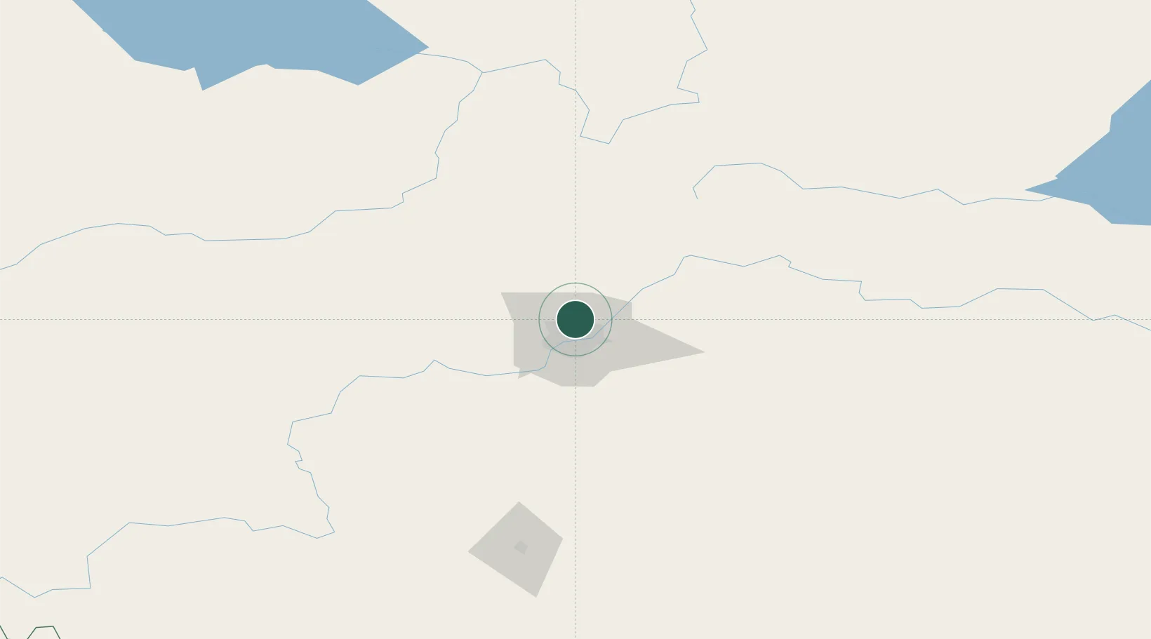
Hub Profile
Place type
Locality
Region
Alberta
Time zone
America/Edmonton
Elevation
692 m
Location
Nearby Logistics Neighbours
Cities
- 1Saint Albert11 km
- 2Fort Saskatchewan19 km
- 3Gibbons19 km
- 4Acheson24 km
- 5Legal30 km
Ports
- 1Mission City788 km
- 2Port Coquitlam809 km
- 3Port Moody812 km
- 4Fraser Mills815 km
- 5New Westminster820 km
Airports
- 1Edmonton International Airport40 km
- 2Whitecourt Airport160 km
- 3Red Deer Regional Airport167 km
- 4Bonnyville Airport193 km
- 5Edson Airport197 km
Trade Zones
- 1Port Alberta - Edmonton FTZ11 km
- 2Calgary Region Inland Port294 km
- 3FTZ No. 187 Toole County569 km
- 4FTZ No. 242 Boundary County594 km
- 5PrInce George Logistics Park609 km
DatabookThe Record of Consolidated Knowledge
Canada beyond logistics?