Transport Functions
Road
Multimodal
Hub Profile
Place type
Populated place
Region
Alberta
Time zone
America/Edmonton
Elevation
608 m
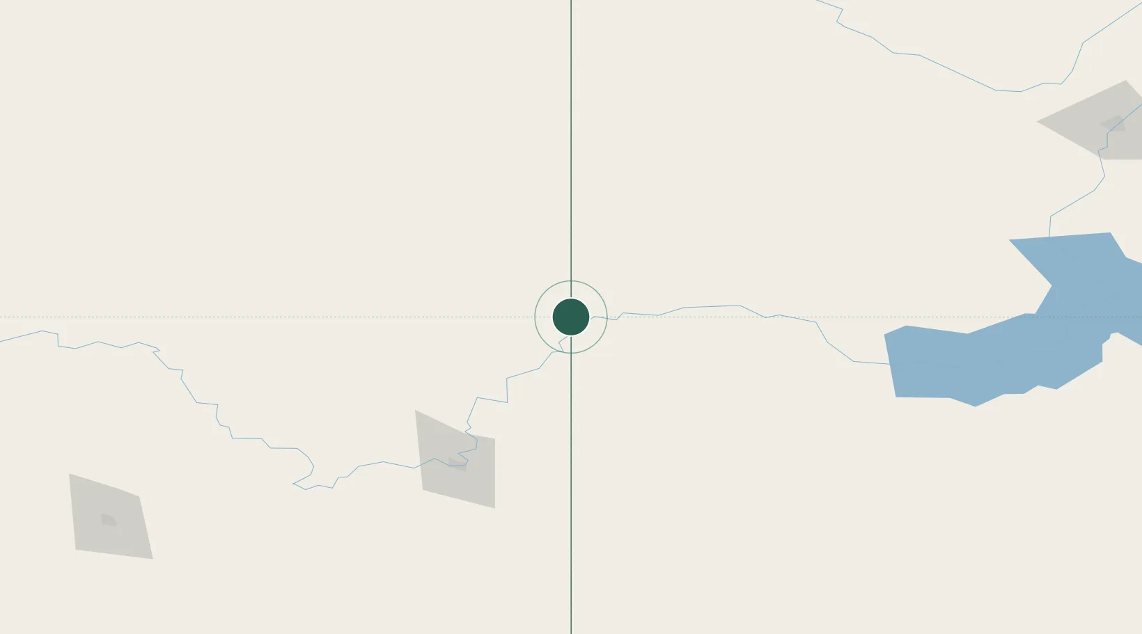
Location
Nearby Logistics Neighbours
Cities
- 1Acadia Valley26 km
- 2Leader32 km
- 3Oyen56 km
- 4Jenner86 km
- 5Medicine Hat112 km
Ports
- 1Mission City897 km
- 2Bellingham928 km
- 3Port Coquitlam929 km
- 4Fraser Mills936 km
- 5Port Moody936 km
Airports
- 1Kindersley Airport85 km
- 2Medicine Hat Regional Airport115 km
- 3Swift Current Airport179 km
- 4North Battleford Airport236 km
- 5Lethbridge County Airport247 km
Trade Zones
- 1Calgary Region Inland Port285 km
- 2FTZ No. 187 Toole County308 km
- 3Global Transportation Hub Authority374 km
- 4Port Alberta - Edmonton FTZ374 km
- 5FTZ No. 088 Great Falls397 km
DatabookThe Record of Consolidated Knowledge
Canada beyond logistics?