Transport Functions
Rail
Road
Hub Profile
Place type
Populated place
Region
Alberta
Time zone
America/Edmonton
Elevation
770 m
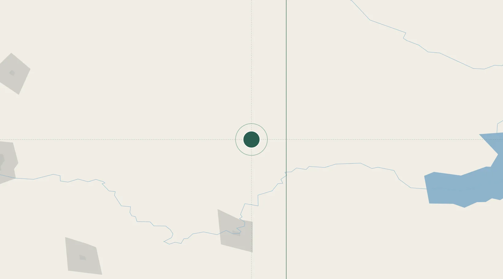
Location
Nearby Logistics Neighbours
Cities
- 1Acadia Valley30 km
- 2Empress56 km
- 3Jenner83 km
- 4Leader83 km
- 5Veteran84 km
Ports
- 1Mission City871 km
- 2Port Coquitlam903 km
- 3Bellingham904 km
- 4Port Moody909 km
- 5Fraser Mills909 km
Airports
- 1Kindersley Airport92 km
- 2Medicine Hat Regional Airport149 km
- 3Lloydminster Airport220 km
- 4North Battleford Airport220 km
- 5Swift Current Airport229 km
Trade Zones
- 1Calgary Region Inland Port252 km
- 2Port Alberta - Edmonton FTZ318 km
- 3FTZ No. 187 Toole County331 km
- 4Global Transportation Hub Authority414 km
- 5FTZ No. 088 Great Falls433 km
DatabookThe Record of Consolidated Knowledge
Canada beyond logistics?