Transport Functions
Rail
Road
Hub Profile
Place type
Populated place
Region
Saskatchewan
Population
1,109
Time zone
America/Regina
Elevation
699 m
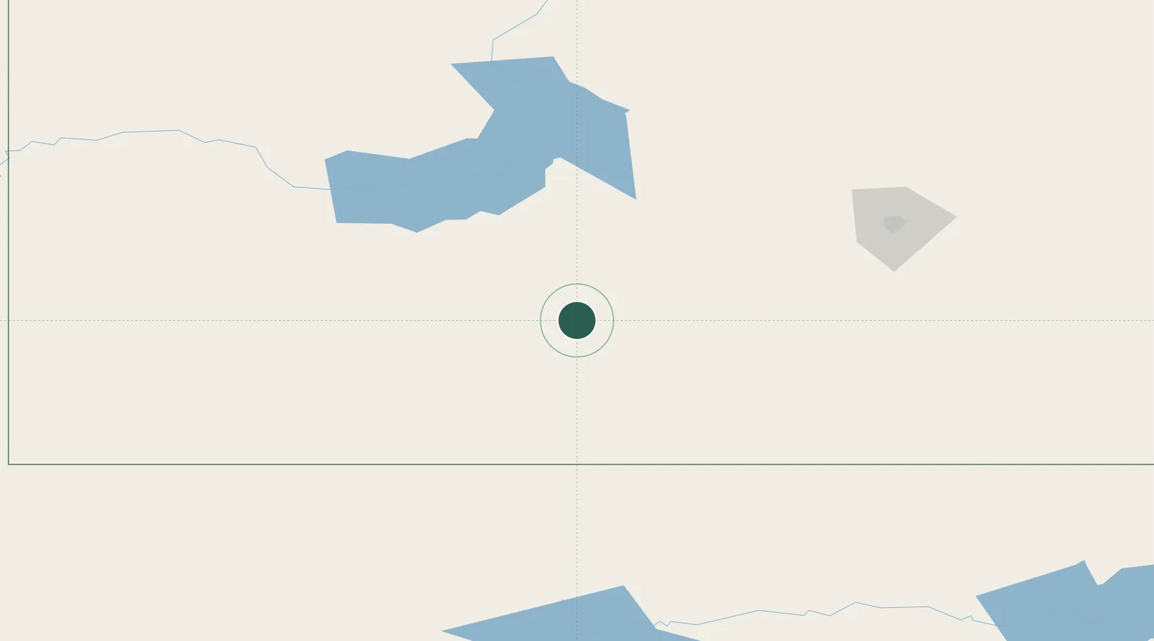
Location
Nearby Logistics Neighbours
Cities
- 1Hodgeville39 km
- 2Assiniboia50 km
- 3Avonlea107 km
- 4Success127 km
- 5Beechy128 km
Ports
- 1Duluth1121 km
- 2Superior1124 km
- 3The Dalles1190 km
- 4Churchill1270 km
- 5Sacramento1724 km
Airports
Trade Zones
- 1Global Transportation Hub Authority144 km
- 2FTZ No. 187 Toole County440 km
- 3FTZ No. 088 Great Falls445 km
- 4Calgary Region Inland Port548 km
- 5FTZ No. 275 Lansing618 km
DatabookThe Record of Consolidated Knowledge
Canada beyond logistics?