Transport Functions
Rail
Road
Hub Profile
Place type
Populated place
Region
Alberta
Time zone
America/Edmonton
Elevation
714 m
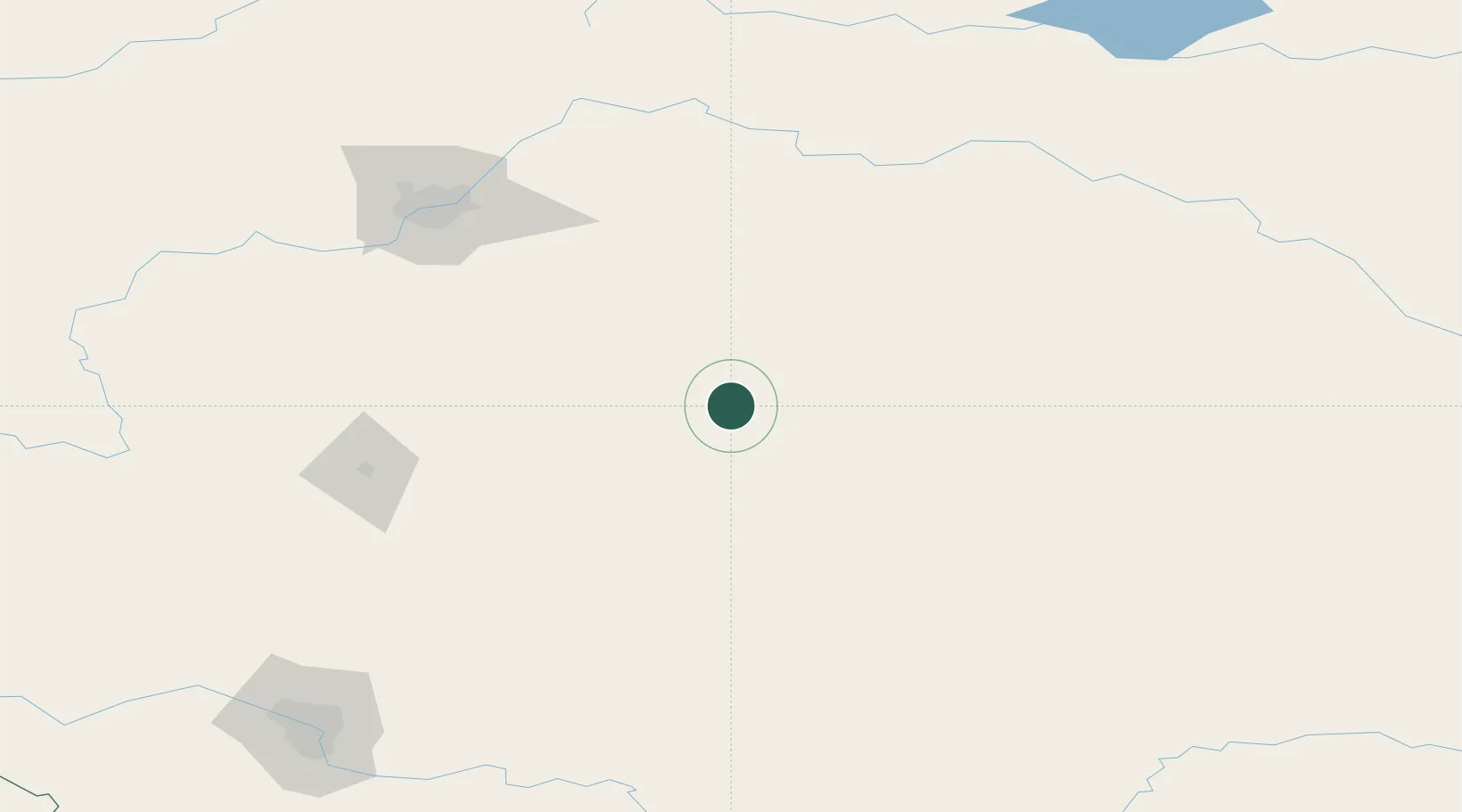
Location
Nearby Logistics Neighbours
Ports
- 1Mission City810 km
- 2Port Coquitlam837 km
- 3Port Moody841 km
- 4Fraser Mills843 km
- 5New Westminster848 km
Airports
- 1Edmonton International Airport130 km
- 2Red Deer Regional Airport132 km
- 3Lloydminster Airport156 km
- 4Bonnyville Airport210 km
- 5Calgary International Airport211 km
Trade Zones
- 1Port Alberta - Edmonton FTZ144 km
- 2Calgary Region Inland Port219 km
- 3FTZ No. 187 Toole County442 km
- 4FTZ No. 242 Boundary County542 km
- 5Global Transportation Hub Authority559 km
DatabookThe Record of Consolidated Knowledge
Canada beyond logistics?