Transport Functions
Port
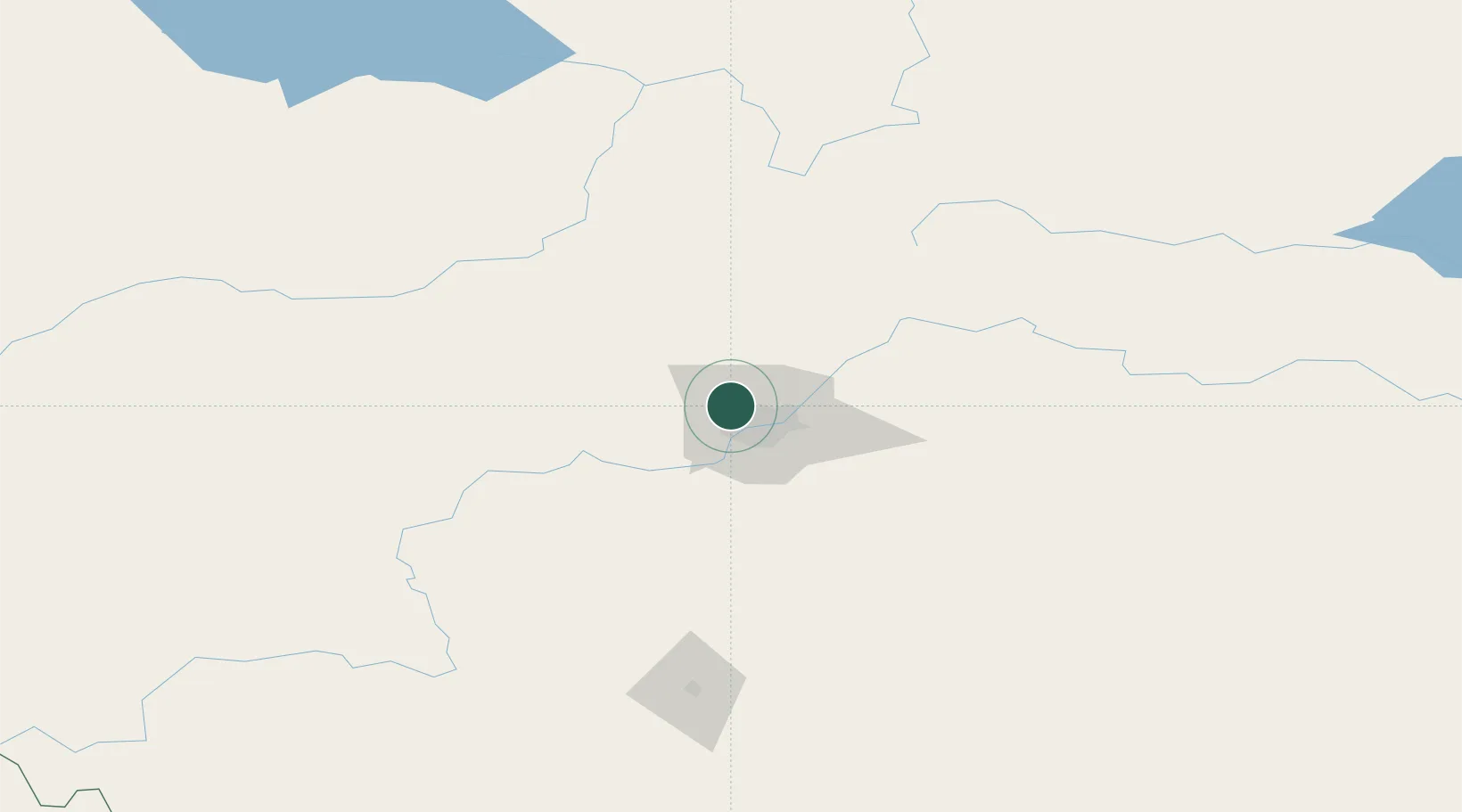
Hub Profile
Place type
Populated place
Region
Quebec
Time zone
America/Toronto
Elevation
107 m
Location
Nearby Logistics Neighbours
Cities
- 1Lancaster Park11 km
- 2Acheson14 km
- 3Gibbons28 km
- 4Fort Saskatchewan30 km
- 5Legal34 km
Ports
- 1Mission City778 km
- 2Port Coquitlam799 km
- 3Port Moody802 km
- 4Fraser Mills805 km
- 5New Westminster810 km
Airports
- 1Edmonton International Airport36 km
- 2Whitecourt Airport152 km
- 3Red Deer Regional Airport162 km
- 4Edson Airport187 km
- 5Slave Lake Airport199 km
Trade Zones
- 1Port Alberta - Edmonton FTZ20 km
- 2Calgary Region Inland Port289 km
- 3FTZ No. 187 Toole County567 km
- 4FTZ No. 242 Boundary County587 km
- 5PrInce George Logistics Park599 km
DatabookThe Record of Consolidated Knowledge
Canada beyond logistics?