Transport Functions
Rail
Road
Multimodal
Hub Profile
Place type
Populated place
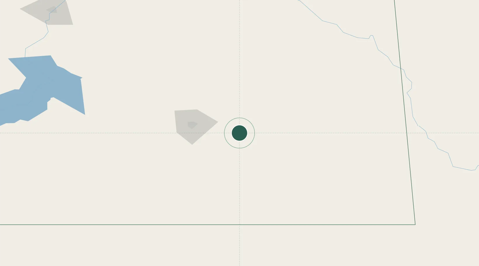
Region
Saskatchewan
Time zone
America/Regina
Elevation
669 m
Location
Nearby Logistics Neighbours
Cities
- 1Sedley19 km
- 2Qu'Appelle21 km
- 3McLean23 km
- 4Indian Head29 km
- 5Richardson37 km
Ports
- 1Duluth956 km
- 2Superior960 km
- 3Two Harbors973 km
- 4Grand Marais1030 km
- 5Bayfield1040 km
Airports
Trade Zones
- 1Global Transportation Hub Authority59 km
- 2Winnipegs Centreport Canada487 km
- 3FTZ No. 103 Grand Forks560 km
- 4FTZ No. 088 Great Falls632 km
- 5FTZ No. 187 Toole County633 km
DatabookThe Record of Consolidated Knowledge
Canada beyond logistics?