Transport Functions
Rail
Road
Multimodal
Hub Profile
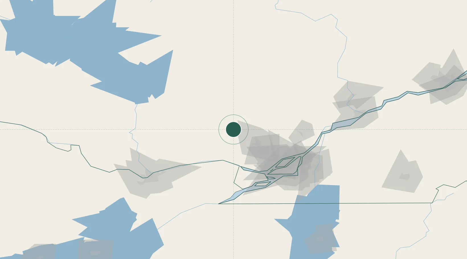
Place type
Populated place
Region
Quebec
Population
976
Time zone
America/Toronto
Elevation
372 m
Location
Nearby Logistics Neighbours
Cities
- 1Prévost42 km
- 2Saint-Antoine-des-Laurentides57 km
- 3Saint-André-Avellin62 km
- 4Pointe-Fortune62 km
- 5Montebello63 km
Ports
- 1Grenville55 km
- 2Hawkesbury57 km
- 3Chute A Blondeau59 km
- 4Fassett60 km
- 5St Andrews East62 km
Airports
Trade Zones
- 1Greater Montreal Free Zone Center98 km
- 2FTZ No. 118 Ogdensburg176 km
- 3Québec City FTZ260 km
- 4FTZ No. 109 Watertown262 km
- 5FTZ No. 090 Onondaga338 km
DatabookThe Record of Consolidated Knowledge
Canada beyond logistics?