Small airport · Canada
Chevery AirportCYHR
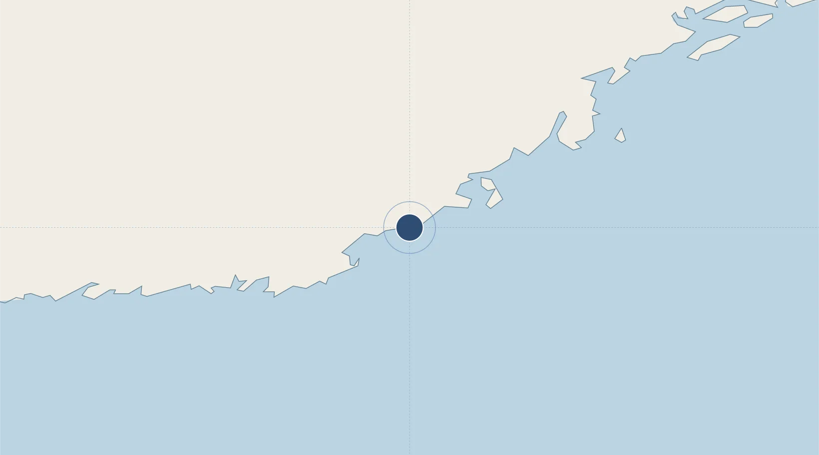
50.4683°, -59.6378°
4,500 ft
Longest runway
1
Runways
39 ft
Elevation
Runway & Layout

Radio Frequencies
AWOS
122.55 MHz
ATF
123.5 MHz
Navaids
IHR DME Chevery 109.70 MHz
YHR NDB Chevery 276 kHz
Runways · 1
| Runway | Dimensions | Surface | True heading | Lit |
|---|---|---|---|---|
| 07/25 | 4,500 × 150ft | Asphalt | 076° | ✓ |
Airport Specifications
IATA code
YHR
ICAO code
CYHR
Airport class
Small airport
Scheduled service
Yes
Runway surface
Asphalt
Served city
Chevery
Location
Nearby Logistics Neighbours
Airports
- 1Tête-à-la-Baleine Airport29 km
- 2La Tabatière Airport62 km
- 3La Romaine Airport77 km
- 4St Augustin Airport108 km
- 5Kégashka Airport120 km
Cities
- 1Saint-Augustin110 km
- 2Cow Head146 km
- 3Daniels Harbour148 km
- 4Lomond175 km
- 5Corner Brook207 km
Ports
- 1Blanc Sablon205 km
- 2Corner Brook208 km
- 3Stephenville230 km
- 4Roddickton251 km
- 5Baie Verte252 km
Trade Zones
- 1Crossroads Business Park401 km
- 2Cape Breton Regional Municipality Foreign Trade Zone485 km
- 3Halifax Gateway711 km
- 4FTZ No. 179 Madawaska728 km
- 5Saint John750 km
DatabookThe Record of Consolidated Knowledge
Canada beyond logistics?