Transport Functions
Rail
Road
Airport
Hub Profile
Place type
Populated place
Region
Newfoundland and Labrador
Population
5,319
Time zone
America/St_Johns
Elevation
34 m
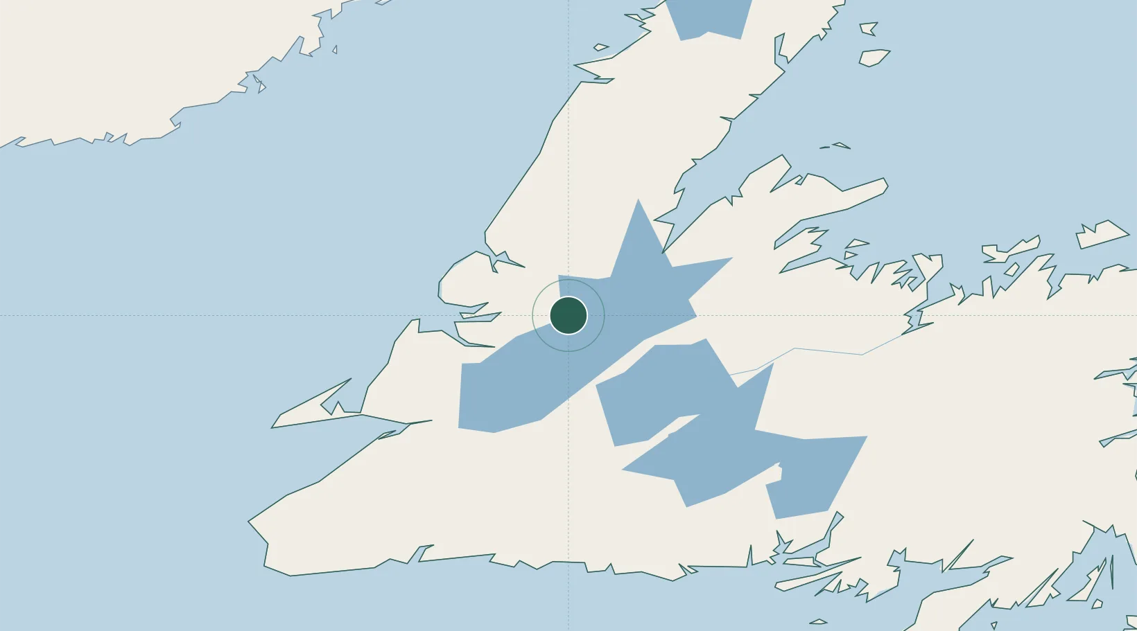
Location
Nearby Logistics Neighbours
Cities
- 1Pasadena21 km
- 2Lomond40 km
- 3Corner Brook44 km
- 4Hampden58 km
- 5Cow Head85 km
Ports
- 1Corner Brook45 km
- 2Springdale106 km
- 3Stephenville107 km
- 4Baie Verte122 km
- 5Botwood153 km
Airports
- 1Deer Lake Airport5 km
- 2Stephenville Dymond International Airport107 km
- 3Gander International Airport210 km
- 4Chevery Airport214 km
- 5La Tabatière Airport215 km
Trade Zones
- 1Crossroads Business Park210 km
- 2Cape Breton Regional Municipality Foreign Trade Zone416 km
- 3Halifax Gateway685 km
- 4Saint John782 km
- 5FTZ No. 179 Madawaska834 km
DatabookThe Record of Consolidated Knowledge
Canada beyond logistics?