Transport Functions
Rail
Road
Hub Profile
Place type
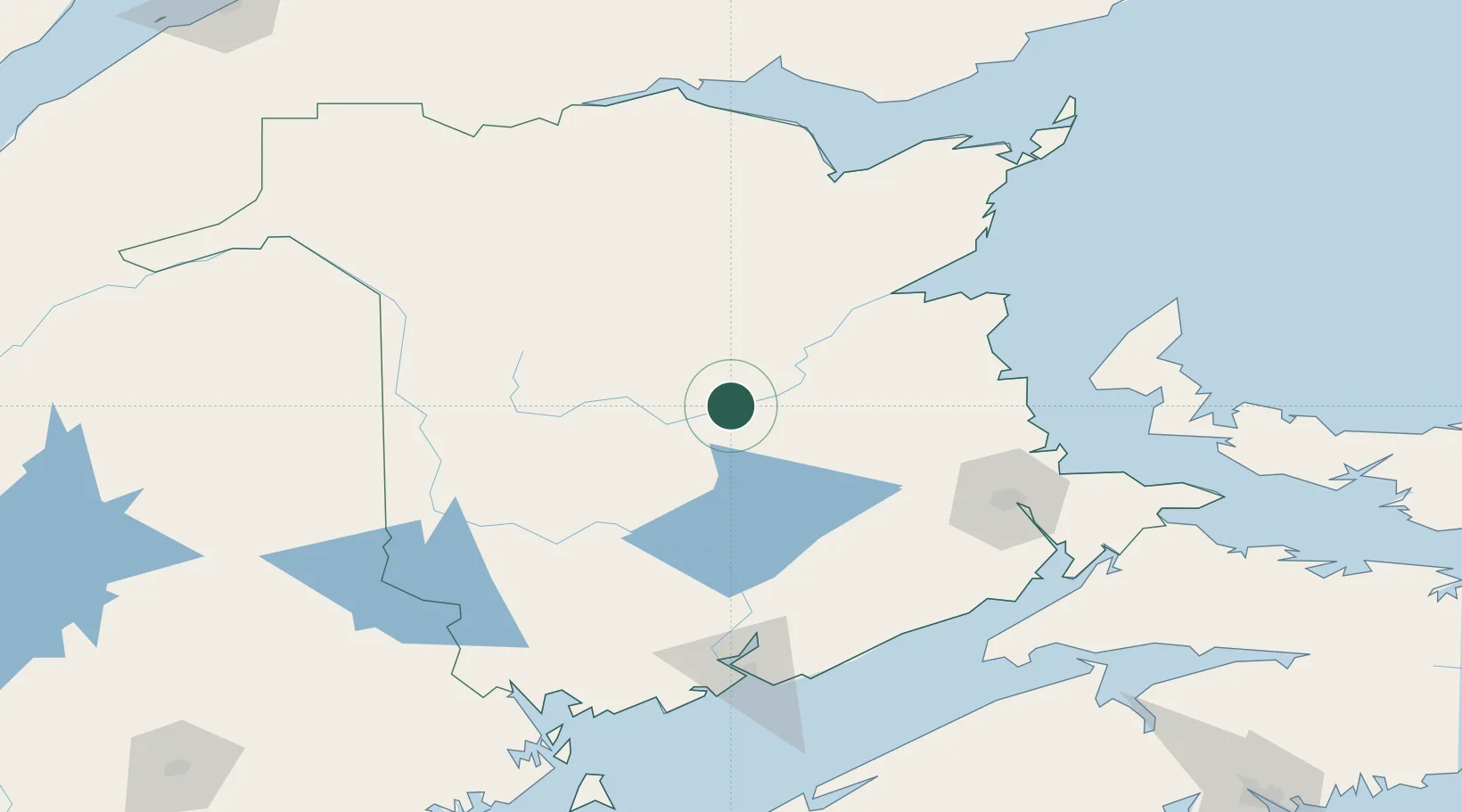
Populated place
Region
New Brunswick
Population
808
Time zone
America/Moncton
Elevation
34 m
Location
Nearby Logistics Neighbours
Cities
- 1Boiestown23 km
- 2Chipman47 km
- 3Minto52 km
- 4Millbank76 km
- 5Fredericton78 km
Ports
- 1St John143 km
- 2Canaport (St. John)151 km
- 3Caraquet166 km
- 4Dalhousie170 km
- 5Shippegan172 km
Airports
Trade Zones
- 1Saint John142 km
- 2FTZ No. 179 Madawaska186 km
- 3FTZ No. 058 Bangor285 km
- 4Halifax Gateway290 km
- 5FTZ No. 186 Waterville356 km
DatabookThe Record of Consolidated Knowledge
Canada beyond logistics?