Transport Functions
Rail
Road
Hub Profile
Place type
Populated place
Region
New Brunswick
Time zone
America/Moncton
Elevation
36 m
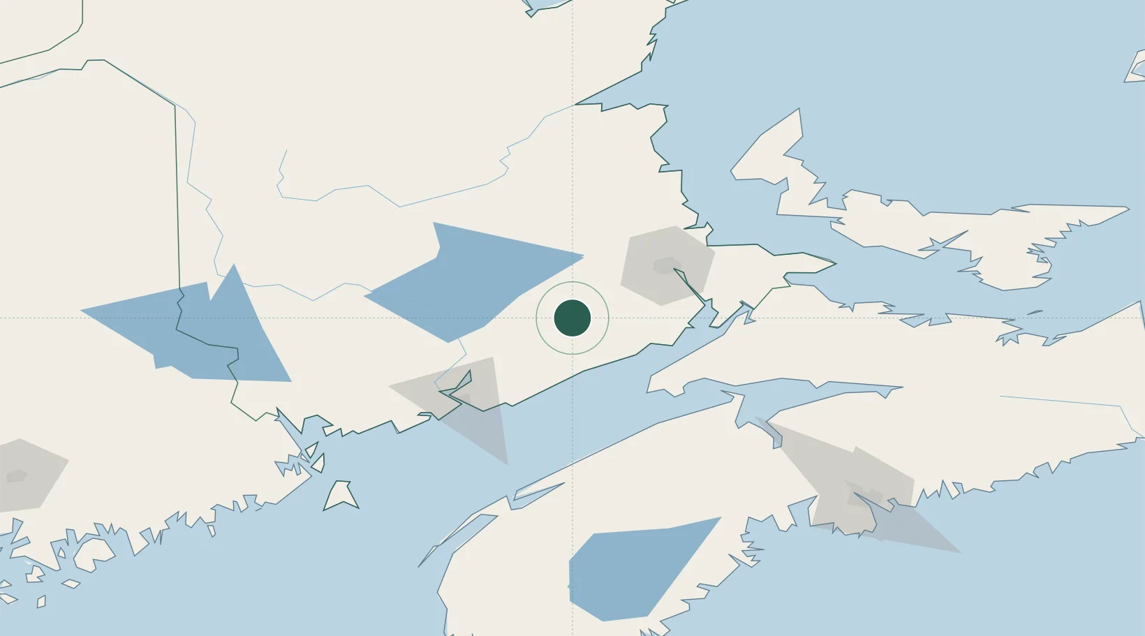
Location
Nearby Logistics Neighbours
Cities
- 1Moncton51 km
- 2Jemseg56 km
- 3Chipman57 km
- 4Colchester County61 km
- 5Minto63 km
Ports
- 1St John77 km
- 2Canaport (St. John)80 km
- 3Windsor130 km
- 4Digby133 km
- 5Summerside141 km
Airports
Trade Zones
- 1Saint John78 km
- 2Halifax Gateway189 km
- 3FTZ No. 179 Madawaska281 km
- 4FTZ No. 058 Bangor290 km
- 5Cape Breton Regional Municipality Foreign Trade Zone361 km
DatabookThe Record of Consolidated Knowledge
Canada beyond logistics?