Transport Functions
Rail
Road
Multimodal
Hub Profile
Place type
Populated place
Region
Saskatchewan
Time zone
America/Regina
Elevation
556 m
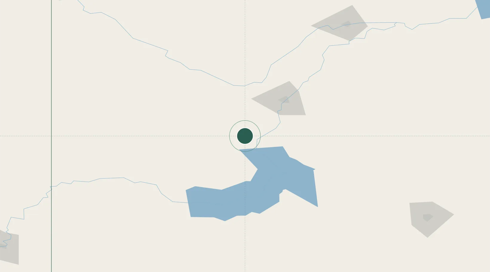
Location
Nearby Logistics Neighbours
Cities
- 1Rosetown52 km
- 2Perdue52 km
- 3Asquith56 km
- 4Strongfield61 km
- 5Saskatoon63 km
Ports
- 1Mission City1098 km
- 2Port Coquitlam1130 km
- 3Bellingham1130 km
- 4Port Moody1136 km
- 5Fraser Mills1136 km
Airports
Trade Zones
- 1Global Transportation Hub Authority217 km
- 2Port Alberta - Edmonton FTZ468 km
- 3Calgary Region Inland Port479 km
- 4FTZ No. 187 Toole County492 km
- 5FTZ No. 088 Great Falls549 km
DatabookThe Record of Consolidated Knowledge
Canada beyond logistics?