Transport Functions
Multimodal
Hub Profile
Place type
Populated place
Region
Saskatchewan
Time zone
America/Regina
Elevation
617 m
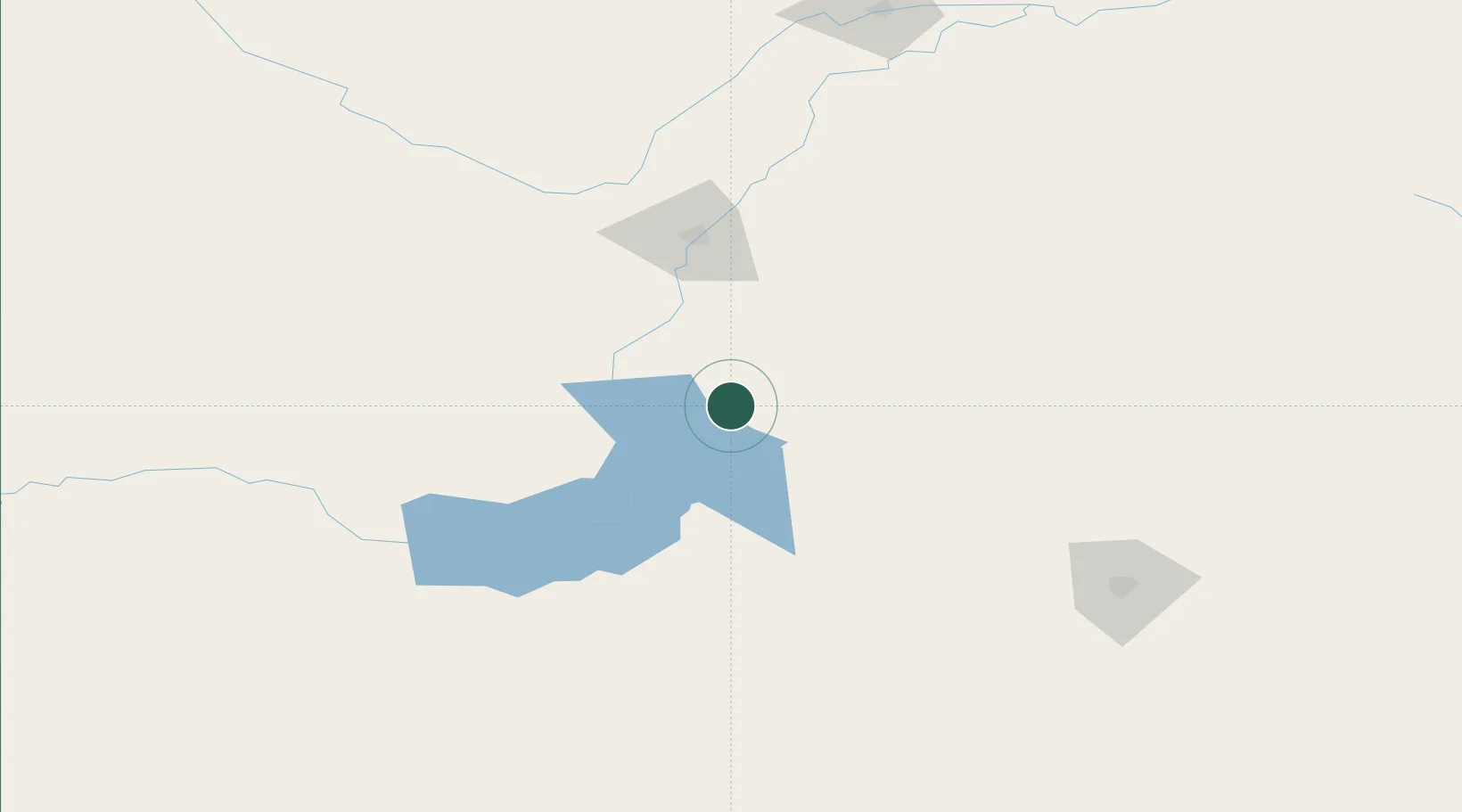
Location
Nearby Logistics Neighbours
Ports
- 1Churchill1138 km
- 2Mission City1144 km
- 3Duluth1163 km
- 4Superior1167 km
- 5Bellingham1175 km
Airports
Trade Zones
- 1Global Transportation Hub Authority156 km
- 2FTZ No. 187 Toole County512 km
- 3Calgary Region Inland Port528 km
- 4Port Alberta - Edmonton FTZ529 km
- 5FTZ No. 088 Great Falls554 km
DatabookThe Record of Consolidated Knowledge
Canada beyond logistics?