Transport Functions
Port
Road
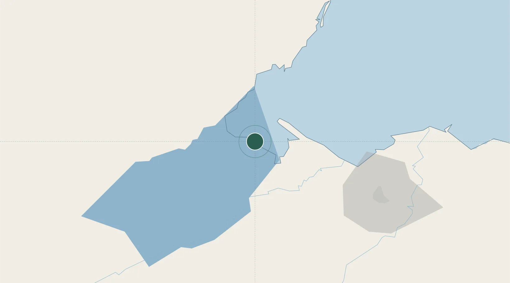
Hub Profile
Place type
Provincial seat
Region
Izabal Department
Population
17,923
Time zone
America/Guatemala
Elevation
16 m
Location
Nearby Logistics Neighbours
Cities
- 1Puerto Barrios21 km
- 2Puerto Santo Tomás de Castilla22 km
- 3Santo Tomas23 km
- 4Barranco26 km
- 5Entre Ríos32 km
Ports
- 1Puerto Barrios20 km
- 2Santo Tomas De Castilla21 km
- 3Big Creek85 km
- 4Puerto Cortes86 km
- 5Tela139 km
Airports
- 1Puerto Barrios Airport21 km
- 2Punta Gorda Airport31 km
- 3Big Creek Airport85 km
- 4Independence Airport85 km
- 5Placencia Airport89 km
Trade Zones
DatabookThe Record of Consolidated Knowledge
Guatemala beyond logistics?