UN/LOCODE hub · Guatemala
GTPBR
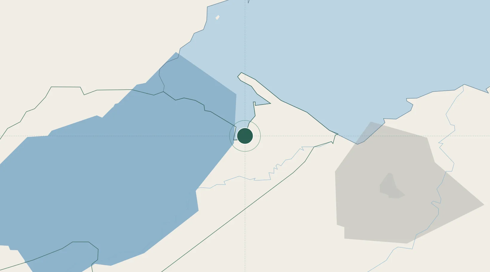
Puerto Barrios
15.7183°, -88.5905°
100,593
Population
2
Transport functions
1
Container terminals
Transport Functions
Port
Airport
Hub Profile
Place type
Regional capital
Region
Izabal Department
Population
100,593
Time zone
America/Guatemala
Elevation
6 m
Logistics facilities
4
Container terminals
1
Location
Nearby Logistics Neighbours
Cities
- 1Puerto Santo Tomás de Castilla3 km
- 2Santo Tomas4 km
- 3Entre Ríos11 km
- 4Lívingston21 km
- 5Corinto28 km
Ports
- 1Santo Tomas De Castilla4 km
- 2Puerto Cortes70 km
- 3Big Creek91 km
- 4Tela122 km
- 5La Ceiba192 km
Airports
Trade Zones
- 1Santo Tomas de Castillo Free Zone4 km
- 2Green Valley Industrial Park60 km
- 3Altia Smart City63 km
- 4ZIP San José68 km
- 5ZOLI Indhelva Free Zone68 km
DatabookThe Record of Consolidated Knowledge
Guatemala beyond logistics?