Runway & Layout

Airport Specifications
IATA code
BGK
ICAO code
MZBG
Airport class
Small airport
Scheduled service
Yes
Served city
Big Creek
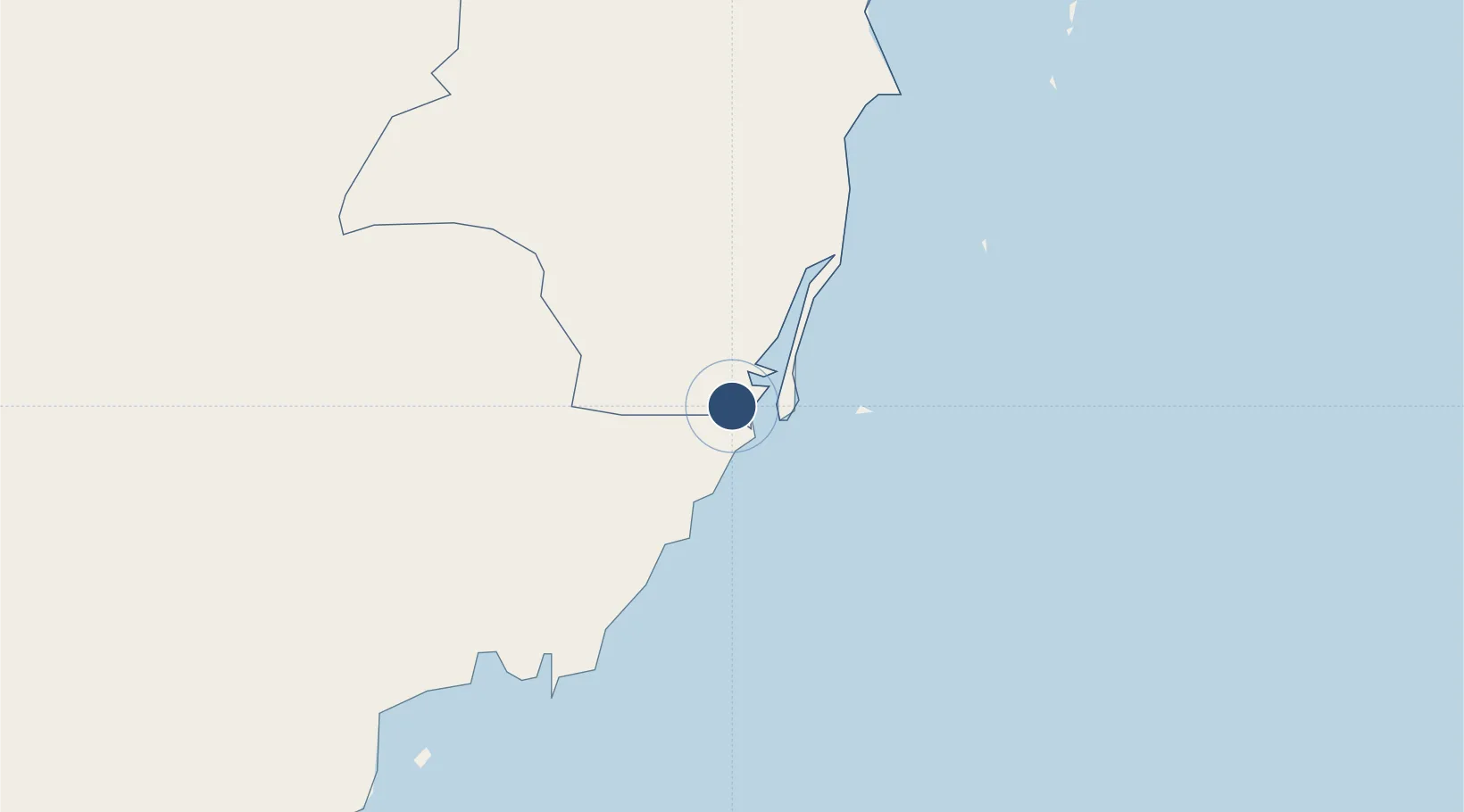
Location
Nearby Logistics Neighbours
Airports
- 1Independence Airport4 km
- 2Placencia Airport5 km
- 3Dangriga Airport55 km
- 4Punta Gorda Airport63 km
- 5Puerto Barrios Airport90 km
Cities
- 1Big Creek1 km
- 2Dangriga54 km
- 3Barranco79 km
- 4Lívingston85 km
- 5Puerto Barrios91 km
Ports
- 1Big Creek1 km
- 2Puerto Barrios90 km
- 3Puerto Cortes91 km
- 4Santo Tomas De Castilla94 km
- 5Belize City112 km
Trade Zones
- 1Santo Tomas de Castillo Free Zone95 km
- 2Parque Industrial San Miguel105 km
- 3ZOLI Indhelva Free Zone112 km
- 4Ciudad Morazán (ZEDE Morazán)112 km
- 5ZIP Choloma Free Zone113 km
DatabookThe Record of Consolidated Knowledge
Belize beyond logistics?