Transport Functions
Port
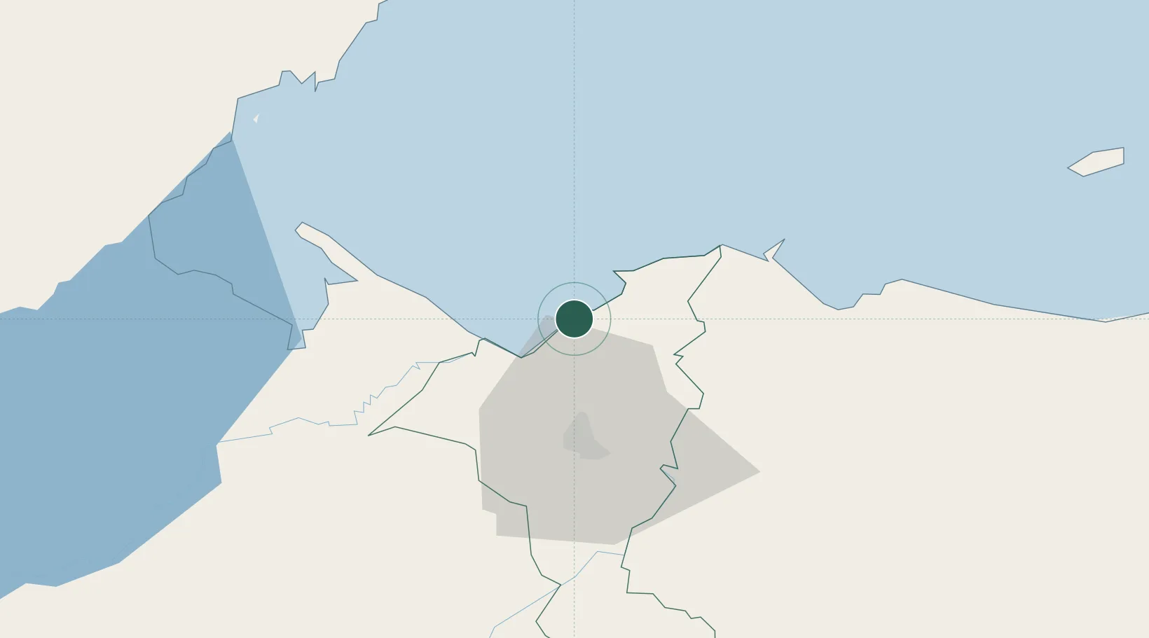
Hub Profile
Place type
Populated place
Region
Cortés Department
Population
4,763
Time zone
America/Tegucigalpa
Elevation
9 m
Location
Nearby Logistics Neighbours
Cities
- 1Rio Bijao12 km
- 2Rio Blanquito15 km
- 3Puerto Cortés15 km
- 4Cuyamel21 km
- 5San Pedro Sula23 km
Ports
- 1Puerto Cortes12 km
- 2Puerto Barrios61 km
- 3Tela62 km
- 4Santo Tomas De Castilla63 km
- 5Big Creek92 km
Airports
- 1Ramón Villeda Morales International Airport37 km
- 2Puerto Barrios Airport59 km
- 3Tela Airport60 km
- 4Punta Gorda Airport91 km
- 5Placencia Airport93 km
Trade Zones
DatabookThe Record of Consolidated Knowledge
Honduras beyond logistics?