Medium airport · Belize

Placencia AirportMZPL
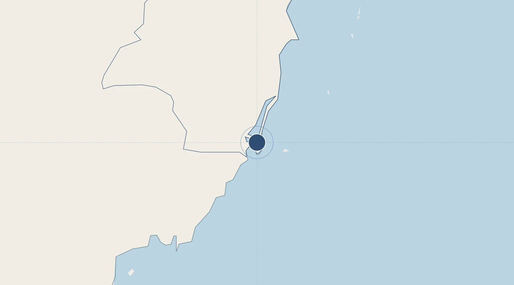
16.5370°, -88.3615°
2,133 ft
Longest runway
1
Runways
3 ft
Elevation

Runway & Layout

Placencia Airport runway & taxiway layout
Runway & taxiway layout — OpenStreetMap (ODbL) / OurAirports

Runways · 1

RunwayDimensions SurfaceTrue headingLit
08/26 2,133 × 65ft Asphalt
OurAirports

Airport Specifications

IATA code
PLJ
OurAirports
ICAO code
MZPL
OurAirports
Airport class
Medium airport
OurAirports
Scheduled service
Yes
OurAirports
Runway surface
Asphalt
OurAirports
Served city
Placencia
OurAirports

Location

Location of MZPL
Natural Earth 10m (public domain) · Stann Creek · MZPL · 16.54, -88.36GoogleOSMYandex

Nearby Logistics Neighbours

Airports
  1. 1Big Creek Airport5 km
  2. 2Independence Airport9 km
  3. 3Dangriga Airport52 km
  4. 4Punta Gorda Airport68 km
  5. 5Puerto Barrios Airport93 km
Nearest neighbours — logibook spatial index (haversine) over the source coordinates
Cities
  1. 1Big Creek5 km
  2. 2Dangriga50 km
  3. 3Barranco84 km
  4. 4Lívingston89 km
  5. 5Omoa93 km
Nearest neighbours — logibook spatial index (haversine) over the source coordinates
Ports
  1. 1Big Creek5 km
  2. 2Puerto Cortes90 km
  3. 3Puerto Barrios93 km
  4. 4Santo Tomas De Castilla97 km
  5. 5Belize City109 km
Nearest neighbours — logibook spatial index (haversine) over the source coordinates
Trade Zones
  1. 1Santo Tomas de Castillo Free Zone98 km
  2. 2Parque Industrial San Miguel104 km
  3. 3Ciudad Morazán (ZEDE Morazán)112 km
  4. 4ZOLI Indhelva Free Zone112 km
  5. 5Philip Goldson International Airport112 km
Nearest neighbours — logibook spatial index (haversine) over the source coordinates
DatabookThe Record of Consolidated Knowledge
Belize beyond logistics?
Browse databook

All Sources

AirportsOurAirports
Public domain
Portsthe NGA World Port Index
Public domain (US gov)
LocationsUN/LOCODE
UN/LOCODE — free
Trade Zonesthe World Bank SEZ database
CC BY 4.0
Trade ZonesOpen Zone Map
CC BY
InfrastructureOpenStreetMap
ODbL 1.0
← Belize airports