Transport Functions
Rail
Road
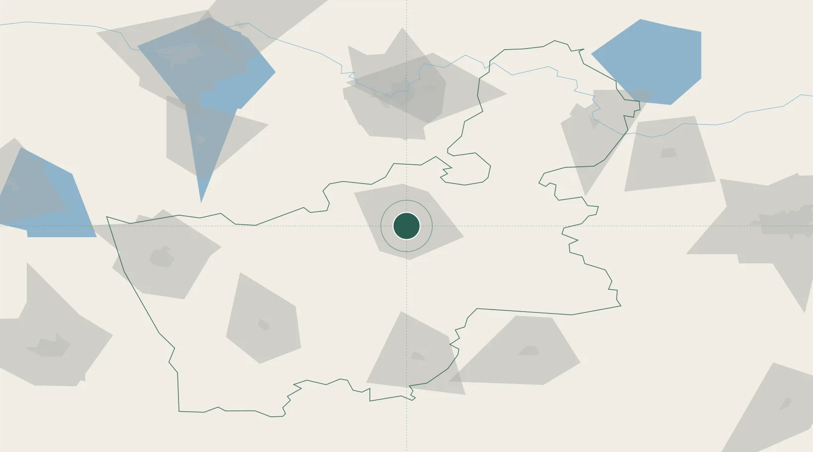
Hub Profile
Place type
Provincial seat
Region
Grodnenskaya
Population
103,916
Time zone
Europe/Minsk
Elevation
144 m
Location
Nearby Logistics Neighbours
Cities
- 1Salcininkai47 km
- 2Shchuchyn47 km
- 3Varena60 km
- 4Vilnius78 km
- 5Vaidotai80 km
Ports
- 1Kaliningrad324 km
- 2Klaipeda336 km
- 3Riga349 km
- 4Baltiysk359 km
- 5Butinge Oil Terminal366 km
Airports
- 1Vilnius International Airport84 km
- 2Hrodna Airport87 km
- 3Baranavichi Air Base101 km
- 4Jonava Air Base139 km
- 5Kaunas International Airport143 km
Trade Zones
DatabookThe Record of Consolidated Knowledge
Belarus beyond logistics?