Transport Functions
Rail
Road
Hub Profile
Place type
Populated place
Region
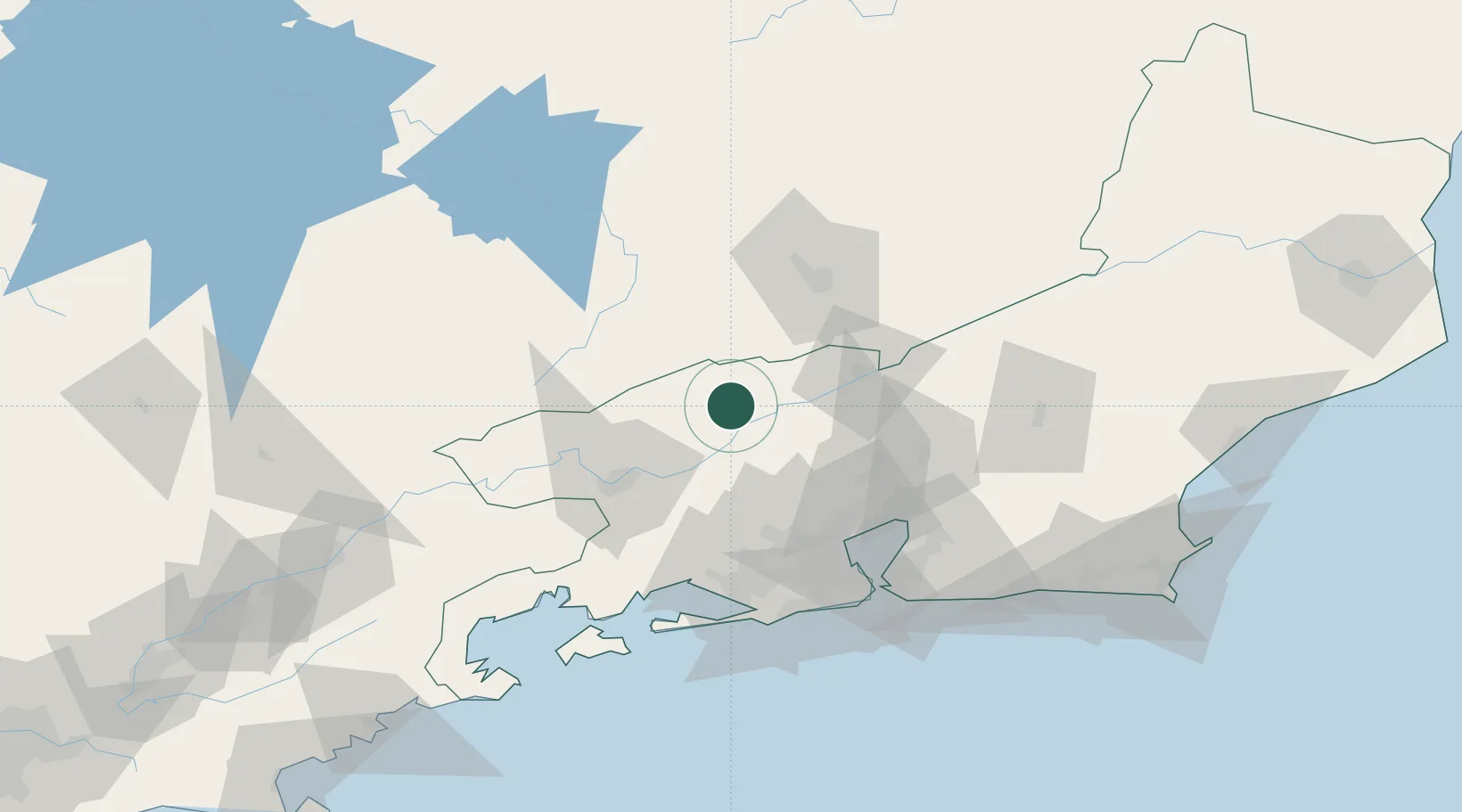
Rio de Janeiro
Population
71,462
Time zone
America/Sao_Paulo
Elevation
560 m
Location
Nearby Logistics Neighbours
Cities
- 1Paraíba do Sul44 km
- 2Volta Redonda49 km
- 3Barra Mansa58 km
- 4Juiz de Fora66 km
- 5Mesquita66 km
Ports
- 1Rio De Janeiro92 km
- 2Niteroi94 km
- 3Angra Dos Reis108 km
- 4Porto Do Forno191 km
- 5Macae199 km
Airports
Trade Zones
- 1ZPE de Itaguaí (RJ)75 km
- 2ZPE do Açú (RJ)278 km
- 3ZPE de Aracruz (ES)469 km
- 4ZPE de Uberaba (MG)527 km
- 5ZPE de Teófilo Otoni (MG)538 km
DatabookThe Record of Consolidated Knowledge
Brazil beyond logistics?