UN/LOCODE hub · Brazil
BRKMT
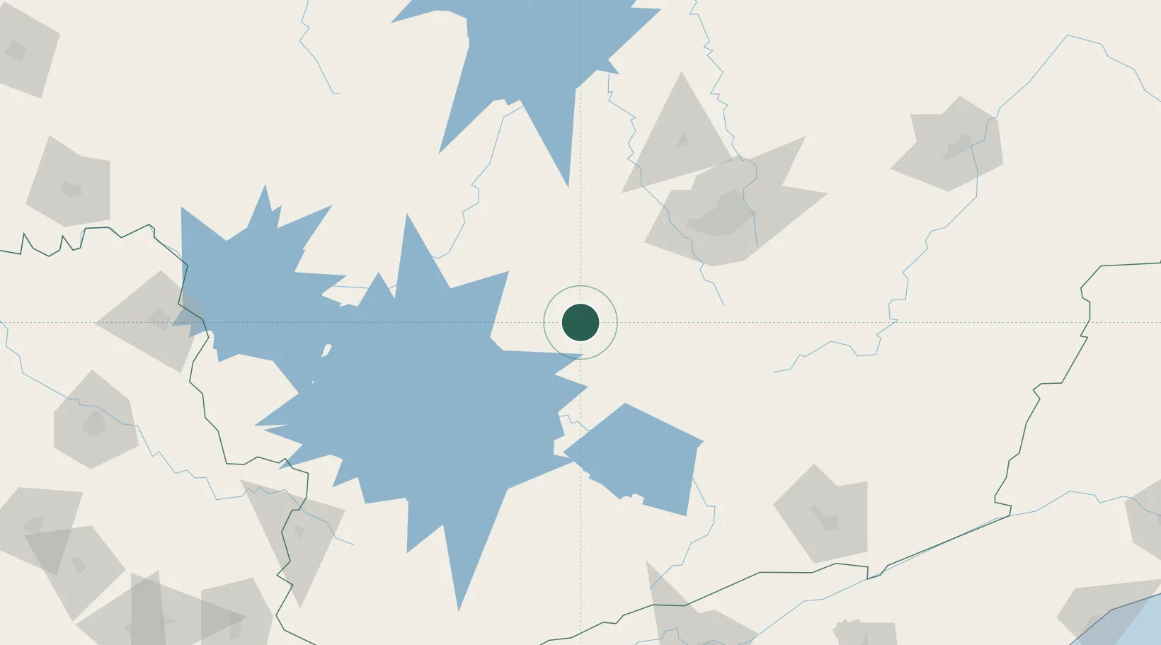
Carmo da Mata
-20.5500°, -44.8667°
11,019
Population
2
Transport functions
Transport Functions
Rail
Road
Hub Profile
Place type
Populated place
Region
Minas Gerais
Population
11,019
Time zone
America/Sao_Paulo
Elevation
839 m
Location
Nearby Logistics Neighbours
Cities
- 1Divinópolis46 km
- 2Itaúna62 km
- 3Arcos76 km
- 4Lavras77 km
- 5Brumadinho84 km
Ports
- 1Angra Dos Reis280 km
- 2Rio De Janeiro315 km
- 3Niteroi316 km
- 4Sao Sebastiao366 km
- 5Macae379 km
Airports
Trade Zones
- 1ZPE de Itaguaí (RJ)285 km
- 2ZPE de Uberaba (MG)339 km
- 3ZPE do Açú (RJ)422 km
- 4ZPE de Teófilo Otoni (MG)464 km
- 5ZPE de Aracruz (ES)511 km
DatabookThe Record of Consolidated Knowledge
Brazil beyond logistics?