Transport Functions
Rail
Road
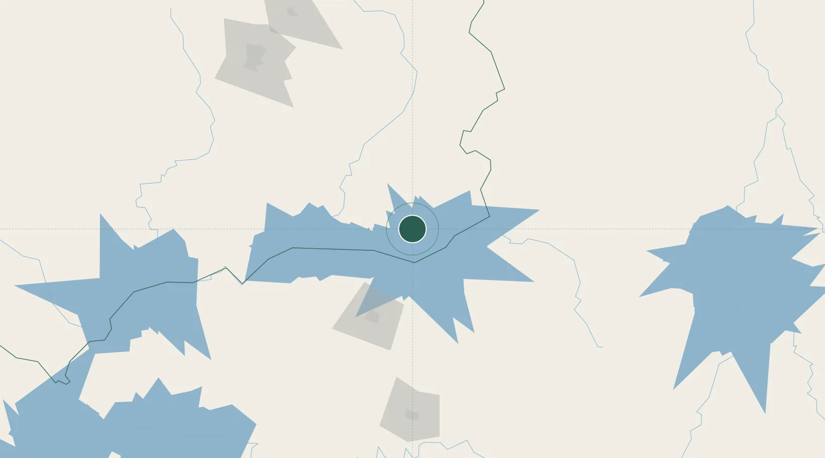
Hub Profile
Place type
Populated place
Region
Goiás
Population
114,427
Time zone
America/Sao_Paulo
Elevation
843 m
Location
Nearby Logistics Neighbours
Cities
- 1Ipameri55 km
- 2Araguari58 km
- 3Uberlândia86 km
- 4Pires do Rio103 km
- 5Patrocínio132 km
Ports
- 1Angra Dos Reis658 km
- 2Santos665 km
- 3Sao Sebastiao679 km
- 4Rio De Janeiro723 km
- 5Niteroi726 km
Airports
Trade Zones
- 1ZPE de Uberaba (MG)170 km
- 2ZPE de Fernandópolis (SP)342 km
- 3ZPE de Bataguassú (MS)610 km
- 4ZPE de Itaguaí (RJ)682 km
- 5ZPE de Teófilo Otoni (MG)683 km
DatabookThe Record of Consolidated Knowledge
Brazil beyond logistics?