Transport Functions
Rail
Road
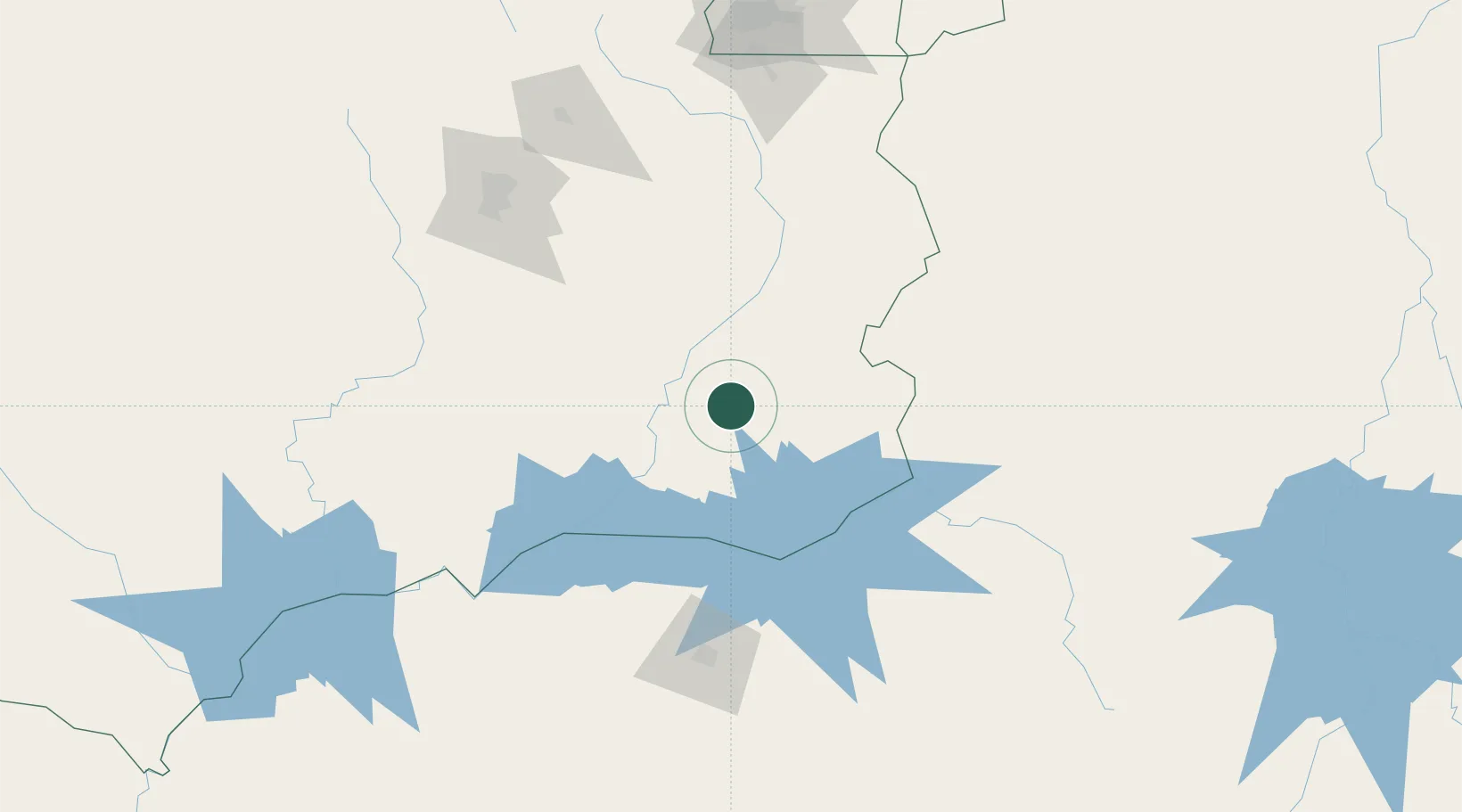
Hub Profile
Place type
Populated place
Region
Goiás
Population
25,548
Time zone
America/Sao_Paulo
Elevation
773 m
Location
Nearby Logistics Neighbours
Cities
- 1Pires do Rio48 km
- 2Catalão55 km
- 3Araguari102 km
- 4Uberlândia130 km
- 5Luziânia165 km
Ports
- 1Angra Dos Reis712 km
- 2Santos719 km
- 3Sao Sebastiao734 km
- 4Rio De Janeiro776 km
- 5Niteroi778 km
Airports
Trade Zones
- 1ZPE de Uberaba (MG)221 km
- 2ZPE de Fernandópolis (SP)364 km
- 3ZPE de Bataguassú (MS)628 km
- 4ZPE de Teófilo Otoni (MG)706 km
- 5ZPE de Itaguaí (RJ)735 km
DatabookThe Record of Consolidated Knowledge
Brazil beyond logistics?