Transport Functions
Rail
Road
Airport
Hub Profile
Place type
Populated place
Region
Minas Gerais
Population
89,826
Time zone
America/Sao_Paulo
Elevation
965 m
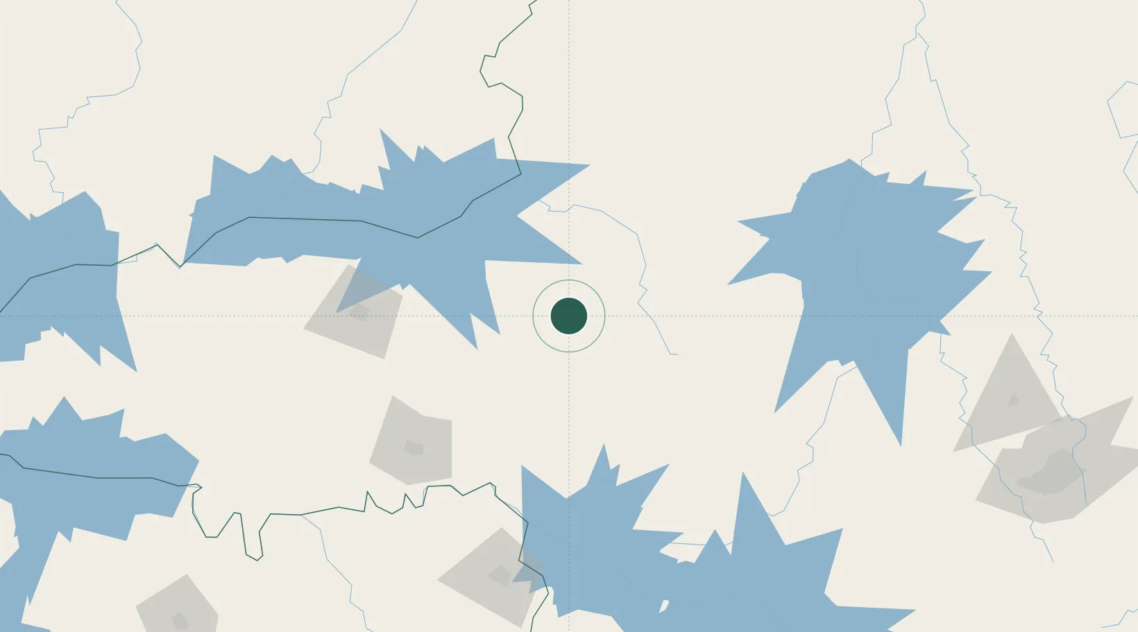
Location
Nearby Logistics Neighbours
Cities
- 1Araxá73 km
- 2Araguari131 km
- 3Catalão132 km
- 4Uberlândia135 km
- 5Uberaba135 km
Ports
- 1Angra Dos Reis532 km
- 2Santos562 km
- 3Sao Sebastiao565 km
- 4Rio De Janeiro593 km
- 5Niteroi595 km
Airports
Trade Zones
- 1ZPE de Uberaba (MG)135 km
- 2ZPE de Fernandópolis (SP)377 km
- 3ZPE de Itaguaí (RJ)553 km
- 4ZPE de Teófilo Otoni (MG)592 km
- 5ZPE de Bataguassú (MS)644 km
DatabookThe Record of Consolidated Knowledge
Brazil beyond logistics?