Transport Functions
Rail
Road
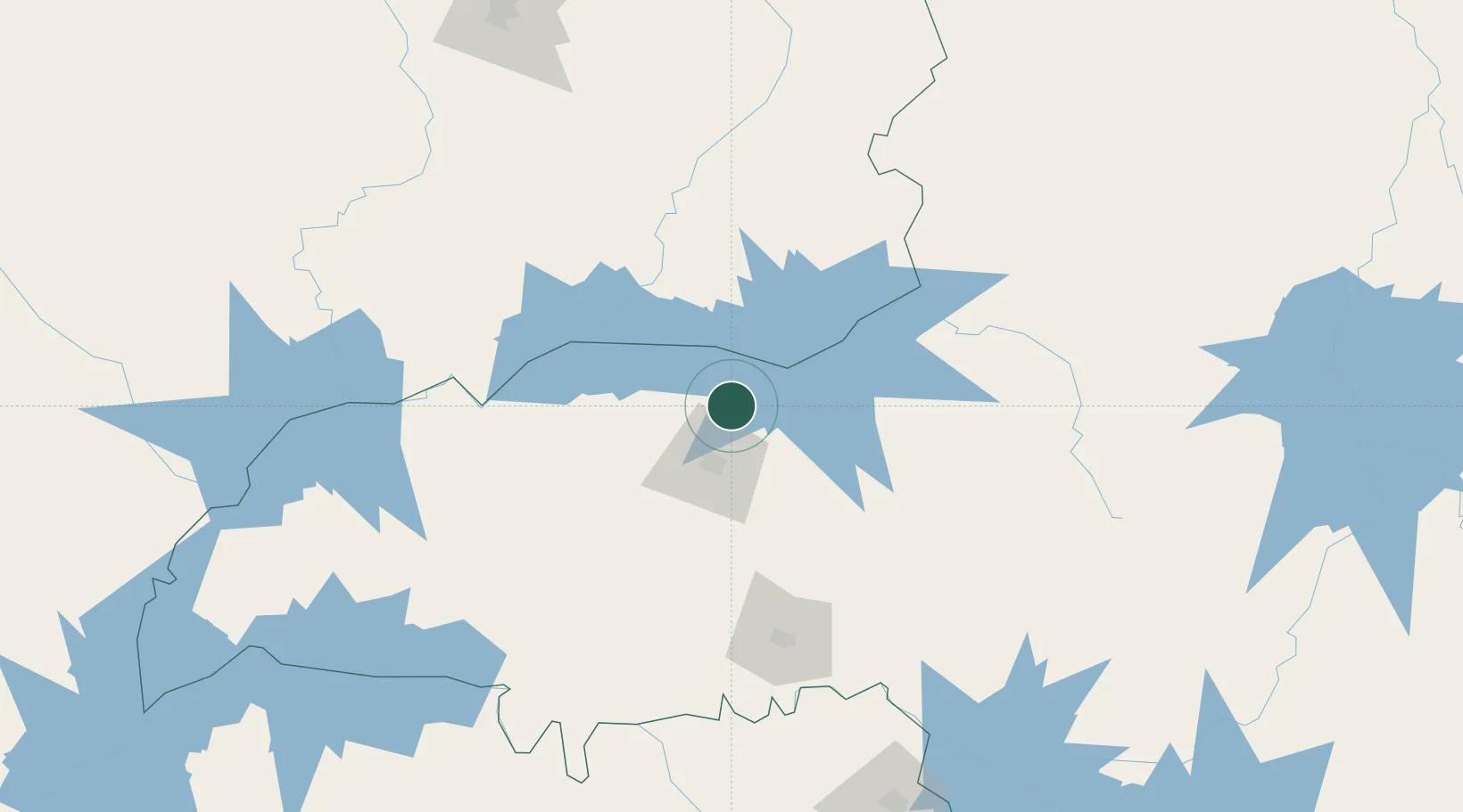
Hub Profile
Place type
Populated place
Region
Minas Gerais
Population
117,808
Time zone
America/Sao_Paulo
Elevation
925 m
Location
Nearby Logistics Neighbours
Cities
- 1Uberlândia28 km
- 2Catalão58 km
- 3Ipameri102 km
- 4Uberaba121 km
- 5Patrocínio131 km
Ports
- 1Santos623 km
- 2Angra Dos Reis632 km
- 3Sao Sebastiao643 km
- 4Rio De Janeiro705 km
- 5Niteroi708 km
Airports
Trade Zones
- 1ZPE de Uberaba (MG)120 km
- 2ZPE de Fernandópolis (SP)287 km
- 3ZPE de Bataguassú (MS)557 km
- 4ZPE de Itaguaí (RJ)660 km
- 5ZPE de Teófilo Otoni (MG)712 km
DatabookThe Record of Consolidated Knowledge
Brazil beyond logistics?