Transport Functions
Port
Road
Hub Profile
Place type
Populated place
Region
Rio Grande do Sul
Population
54,387
Time zone
America/Sao_Paulo
Elevation
9 m
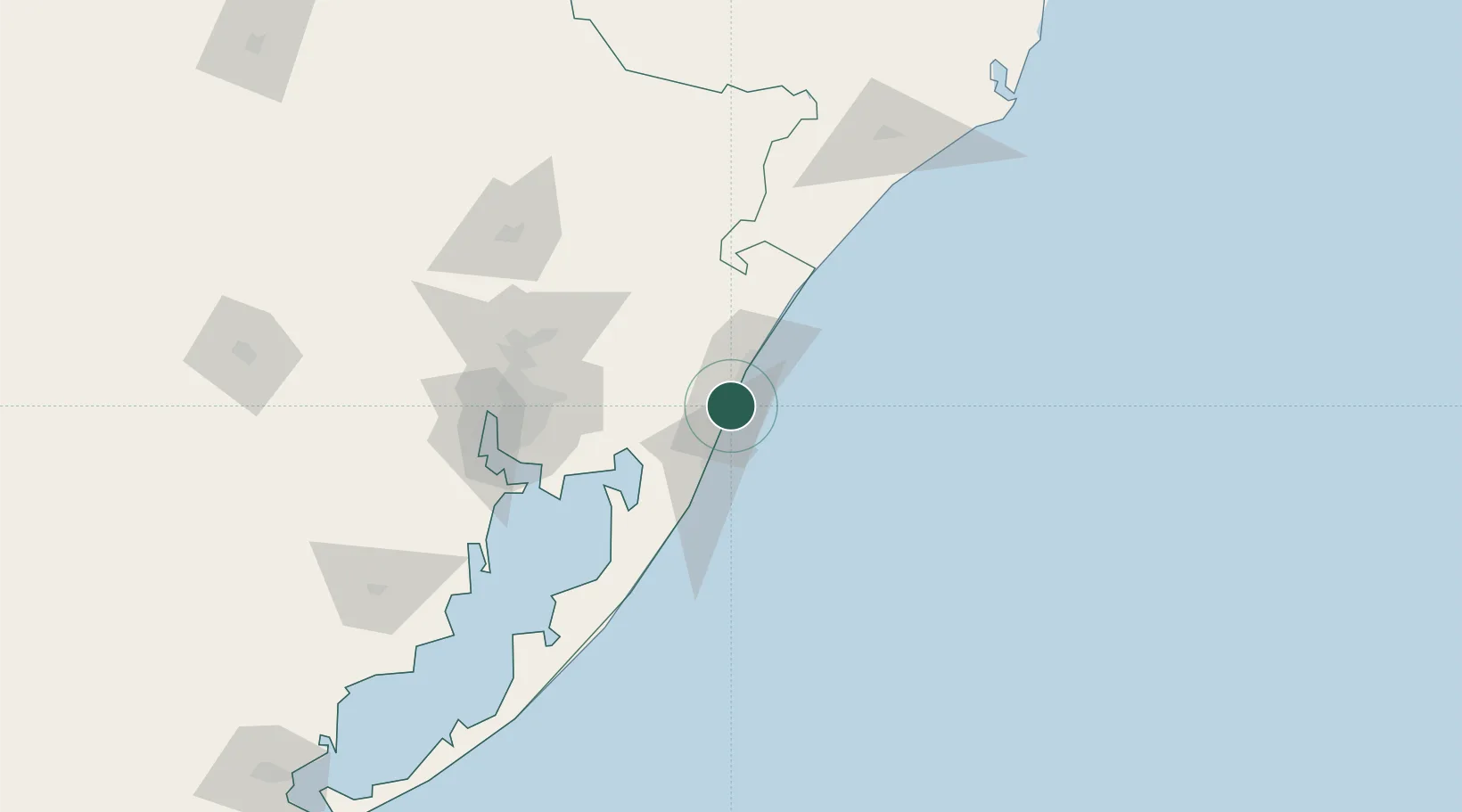
Location
Nearby Logistics Neighbours
Cities
- 1Esteio99 km
- 2Canoas101 km
- 3Novo Hamburgo102 km
- 4Porto Alegre106 km
- 5Guaíba115 km
Ports
- 1Porto Alegre108 km
- 2Laguna210 km
- 3Imbituba240 km
- 4Pelotas291 km
- 5Rio Grande297 km
Airports
Trade Zones
- 1ZPE de Imbituba (SC)304 km
- 2ZPE de Rio Grande (RS)305 km
- 3Rivera Free Zone532 km
- 4Zona Franca Puerto Iguazu Free Trade Zone655 km
- 5Zona Franca Internacional673 km
DatabookThe Record of Consolidated Knowledge
Brazil beyond logistics?