Medium airport · Brazil

Forquilhinha - Criciúma AirportSBCM
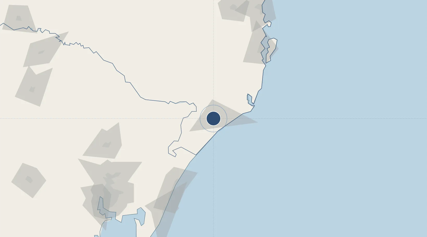
-28.7257°, -49.4245°
4,882 ft
Longest runway
1
Runways
92 ft
Elevation

Runway & Layout

Forquilhinha - Criciúma  Airport runway & taxiway layout
Runway & taxiway layout — OpenStreetMap (ODbL) / OurAirports

Radio Frequencies

AFIS
131.95 MHz
CRICIUMA RDO
OurAirports

Runways · 1

RunwayDimensions SurfaceTrue headingLit
9/27 4,882 × 98ft Asphalt
OurAirports

Airport Specifications

IATA code
CCM
OurAirports
ICAO code
SSIM
OurAirports
Airport class
Medium airport
OurAirports
Scheduled service
Yes
OurAirports
Runway surface
Asphalt
OurAirports
Served city
Criciúma
OurAirports

Location

Location of SBCM
Natural Earth 10m (public domain) · Santa Catarina · SBCM · -28.73, -49.42GoogleOSMYandex

Nearby Logistics Neighbours

Airports
  1. 1Humberto Ghizzo Bortoluzzi Regional Airport36 km
  2. 2Lages Airport134 km
  3. 3Hercílio Luz International Airport145 km
  4. 4Batalhão de Operações Aéreas do CBMSC Heliport152 km
  5. 5Planalto Serrano Regional Airport152 km
Nearest neighbours — logibook spatial index (haversine) over the source coordinates
Cities
  1. 1Criciúma10 km
  2. 2Siderópolis16 km
  3. 3Urussanga26 km
  4. 4Sangão31 km
  5. 5Capivari de Baixo57 km
Nearest neighbours — logibook spatial index (haversine) over the source coordinates
Ports
  1. 1Laguna67 km
  2. 2Imbituba92 km
  3. 3Tramandai156 km
  4. 4Itajai216 km
  5. 5Porto Alegre228 km
Nearest neighbours — logibook spatial index (haversine) over the source coordinates
Trade Zones
  1. 1ZPE de Imbituba (SC)150 km
  2. 2ZPE de Rio Grande (RS)457 km
  3. 3Zona Franca Puerto Iguazu Free Trade Zone616 km
  4. 4Zona Franca Internacional634 km
  5. 5Zona Franca Global635 km
Nearest neighbours — logibook spatial index (haversine) over the source coordinates
DatabookThe Record of Consolidated Knowledge
Brazil beyond logistics?
Browse databook

All Sources

AirportsOurAirports
Public domain
Portsthe NGA World Port Index
Public domain (US gov)
LocationsUN/LOCODE
UN/LOCODE — free
Trade Zonesthe World Bank SEZ database
CC BY 4.0
Trade ZonesOpen Zone Map
CC BY
InfrastructureOpenStreetMap
ODbL 1.0
← Brazil airports