Transport Functions
Port
Road
Hub Profile
Place type
Populated place
Region
Rio Grande do Sul
Population
27,498
Time zone
America/Sao_Paulo
Elevation
22 m
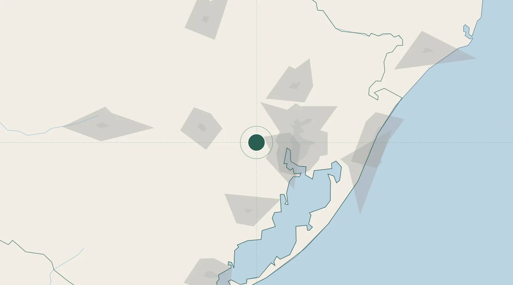
Location
Nearby Logistics Neighbours
Cities
- 1Charqueadas8 km
- 2Taquari21 km
- 3Guaíba43 km
- 4Porto Alegre48 km
- 5Canoas51 km
Ports
- 1Porto Alegre46 km
- 2Tramandai151 km
- 3Pelotas214 km
- 4Rio Grande238 km
- 5Laguna325 km
Airports
Trade Zones
- 1ZPE de Rio Grande (RS)244 km
- 2Rivera Free Zone386 km
- 3ZPE de Imbituba (SC)401 km
- 4Zona Franca Puerto Iguazu Free Trade Zone558 km
- 5Zona Franca Internacional575 km
DatabookThe Record of Consolidated Knowledge
Brazil beyond logistics?