Transport Functions
Port
Road
Hub Profile
Place type
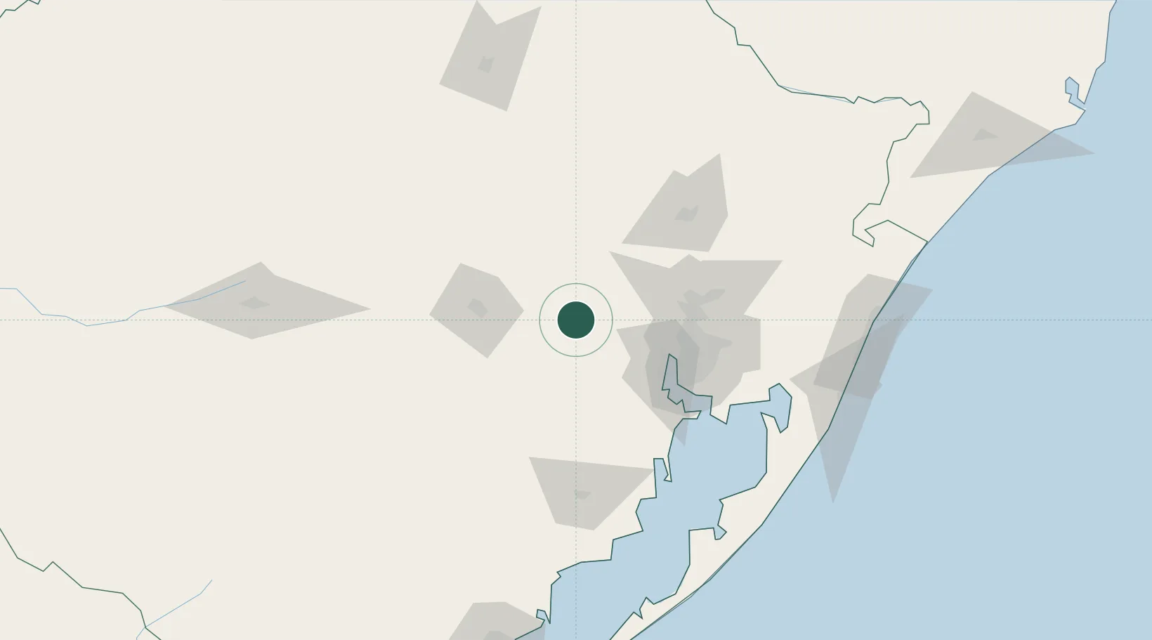
Populated place
Region
Rio Grande do Sul
Population
25,198
Time zone
America/Sao_Paulo
Elevation
57 m
Location
Nearby Logistics Neighbours
Cities
- 1Triunfo21 km
- 2Charqueadas28 km
- 3Estrela35 km
- 4Rio Pardo54 km
- 5Guaíba63 km
Ports
- 1Porto Alegre65 km
- 2Tramandai167 km
- 3Pelotas225 km
- 4Rio Grande251 km
- 5Laguna331 km
Airports
Trade Zones
- 1ZPE de Rio Grande (RS)256 km
- 2Rivera Free Zone378 km
- 3ZPE de Imbituba (SC)403 km
- 4Zona Franca Puerto Iguazu Free Trade Zone538 km
- 5Zona Franca Internacional555 km
DatabookThe Record of Consolidated Knowledge
Brazil beyond logistics?