Transport Functions
Port
Road
Airport
Hub Profile
Place type
Populated place
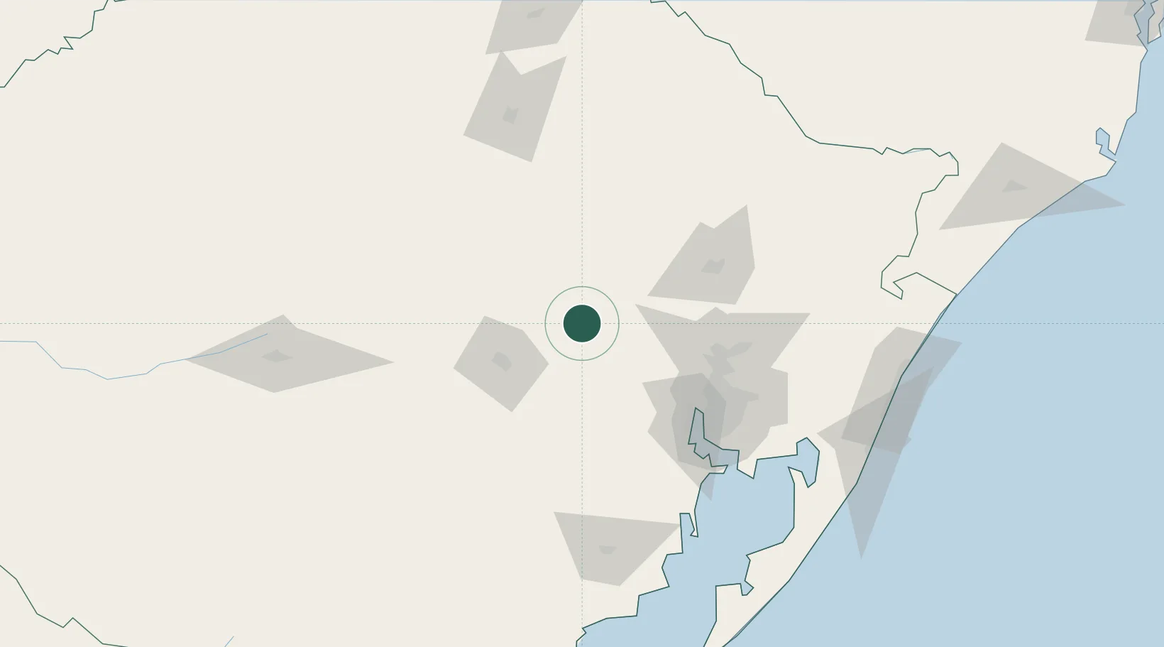
Region
Rio Grande do Sul
Population
32,183
Time zone
America/Sao_Paulo
Elevation
47 m
Location
Nearby Logistics Neighbours
Cities
- 1Taquari35 km
- 2Triunfo55 km
- 3Charqueadas60 km
- 4Rio Pardo66 km
- 5Novo Hamburgo85 km
Ports
- 1Porto Alegre92 km
- 2Tramandai185 km
- 3Pelotas256 km
- 4Rio Grande284 km
- 5Laguna329 km
Airports
Trade Zones
- 1ZPE de Rio Grande (RS)288 km
- 2Rivera Free Zone380 km
- 3ZPE de Imbituba (SC)394 km
- 4Zona Franca Puerto Iguazu Free Trade Zone504 km
- 5Zona Franca Internacional521 km
DatabookThe Record of Consolidated Knowledge
Brazil beyond logistics?