Large airport · Uruguay

Carrasco General Cesáreo L. Berisso International AirportSUMU
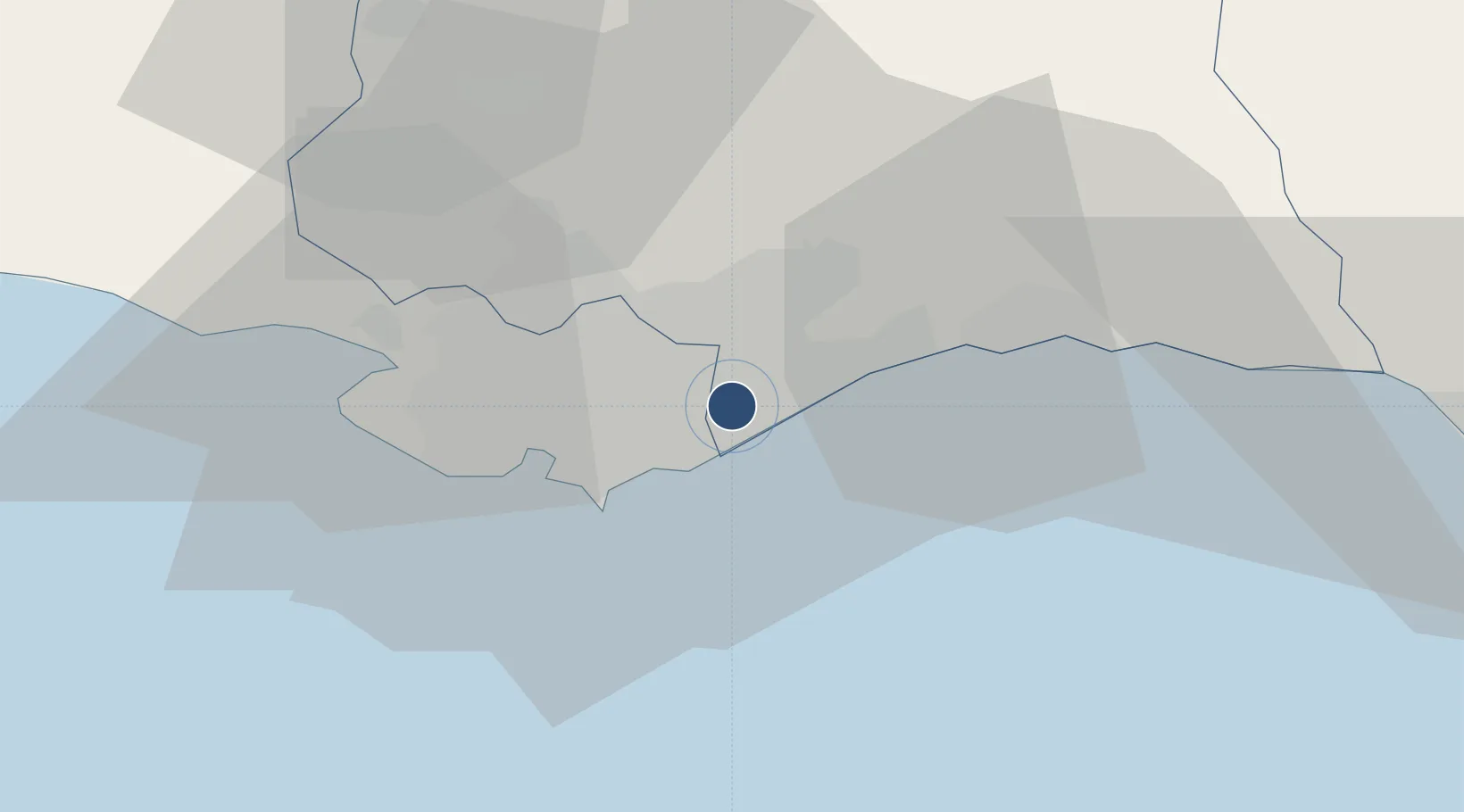
-34.8356°, -56.0265°
10,499 ft
Longest runway
2
Runways
105 ft
Elevation

Runway & Layout

Carrasco General Cesáreo L. Berisso International Airport runway & taxiway layout
Runway & taxiway layout — OpenStreetMap (ODbL) / OurAirports

Radio Frequencies

TWR
118.1 MHz
APP
119.2 MHz
MISC
545.1 MHz
CXK CARRASCO RDO
PTD
831.5 MHz
A/F CARRASCO CXJ
RDO
553.5 MHz
OurAirports

Navaids

AR NDB Carrasco 260 kHz
CA NDB Carrasco 280 kHz
CAR NDB Carrasco 380 kHz
CRR VOR-DME Carrasco 116.90 MHz
OurAirports

Runways · 2

RunwayDimensions SurfaceTrue headingLit
07/25 10,499 × 148ft Asphalt / concrete 053°
01/19 7,382 × 148ft Asphalt / concrete 359°
OurAirports

Airport Specifications

IATA code
MVD
OurAirports
ICAO code
SUMU
OurAirports
Airport class
Large airport
OurAirports
Scheduled service
Yes
OurAirports
Runway surface
Asphalt / concrete
OurAirports
Served city
Ciudad de la Costa
OurAirports

Location

Location of SUMU
Natural Earth 10m (public domain) · Canelones · SUMU · -34.84, -56.03GoogleOSMYandex

Nearby Logistics Neighbours

Airports
  1. 1Ángel S. Adami International Airport22 km
  2. 2Capitan Corbeta CA Curbelo International Airport85 km
  3. 3El Jagüel / Punta del Este Airport101 km
  4. 4Santa Bernardina International Airport170 km
  5. 5La Plata Airport171 km
Nearest neighbours — logibook spatial index (haversine) over the source coordinates
Cities
  1. 1Montevideo20 km
  2. 2Joanico35 km
  3. 3Piriápolis69 km
  4. 4Juan L. Lacaze138 km
  5. 5Cabo San Antonio142 km
Nearest neighbours — logibook spatial index (haversine) over the source coordinates
Ports
  1. 1Montevideo19 km
  2. 2Jose Ignacio122 km
  3. 3Puerto Sauce138 km
  4. 4La Plata170 km
  5. 5Colonia172 km
Nearest neighbours — logibook spatial index (haversine) over the source coordinates
Trade Zones
  1. 1Parque de las Ciencias Free Zone3 km
  2. 2Parque Las Ciencias Free Zone3 km
  3. 3Zonamerica Free Zone7 km
  4. 4World Trade Center Free Zone12 km
  5. 5Aguada Park Free Zone17 km
Nearest neighbours — logibook spatial index (haversine) over the source coordinates
DatabookThe Record of Consolidated Knowledge
Uruguay beyond logistics?
Browse databook

All Sources

AirportsOurAirports
Public domain
Portsthe NGA World Port Index
Public domain (US gov)
LocationsUN/LOCODE
UN/LOCODE — free
Trade Zonesthe World Bank SEZ database
CC BY 4.0
Trade ZonesOpen Zone Map
CC BY
InfrastructureOpenStreetMap
ODbL 1.0
← Uruguay airports