UN/LOCODE hub · Brazil
BRSSR

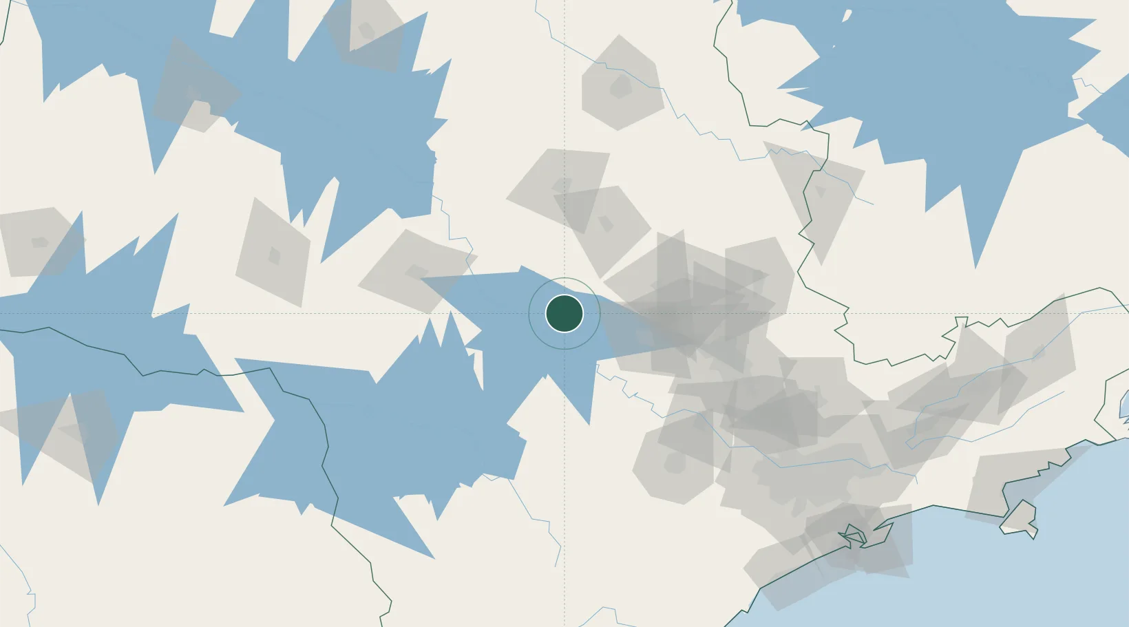
Santa Maria da Serra

-22.5667°, -48.1500°
5,243
Population
2
Transport functions

Transport Functions

Port
Road
UN/LOCODE

Hub Profile

Place type
Populated place
GeoNames
Region
São Paulo
GeoNames
Population
5,243
GeoNames
Time zone
America/Sao_Paulo
GeoNames
Elevation
498 m
GeoNames

Location

Location of BRSSR
Natural Earth 10m (public domain) · São Paulo · BRSSR · -22.57, -48.15GoogleOSMYandex

Nearby Logistics Neighbours

Cities
  1. 1Anhembi24 km
  2. 2São Pedro26 km
  3. 3Itirapina49 km
  4. 4Conchas51 km
  5. 5Jaú52 km
Nearest neighbours — logibook spatial index (haversine) over the source coordinates
Ports
  1. 1Santos244 km
  2. 2Sao Sebastiao313 km
  3. 3Paranagua328 km
  4. 4Angra Dos Reis396 km
  5. 5Sao Francisco413 km
Nearest neighbours — logibook spatial index (haversine) over the source coordinates
Airports
  1. 1Araraquara Airport84 km
  2. 2Bauru/Arealva–Moussa Nakhal Tobias State Airport105 km
  3. 3Campo Fontenelle105 km
  4. 4Viracopos International Airport115 km
  5. 5Sorocaba Airport122 km
Nearest neighbours — logibook spatial index (haversine) over the source coordinates
Trade Zones
  1. 1ZPE de Uberaba (MG)320 km
  2. 2ZPE de Fernandópolis (SP)334 km
  3. 3ZPE de Bataguassú (MS)449 km
  4. 4ZPE de Itaguaí (RJ)450 km
  5. 5ZPE de Imbituba (SC)563 km
Nearest neighbours — logibook spatial index (haversine) over the source coordinates
DatabookThe Record of Consolidated Knowledge
Brazil beyond logistics?
Browse databook

All Sources

LocationsUN/LOCODE
UN/LOCODE — free
LocationsGeoNames
CC BY 4.0
Portsthe NGA World Port Index
Public domain (US gov)
AirportsOurAirports
Public domain
Trade Zonesthe World Bank SEZ database
CC BY 4.0
Trade ZonesOpen Zone Map
CC BY
← Brazil locations