Transport Functions
Port
Rail
Road
Hub Profile
Place type
Populated place
Region
São Paulo
Population
133,497
Time zone
America/Sao_Paulo
Elevation
528 m
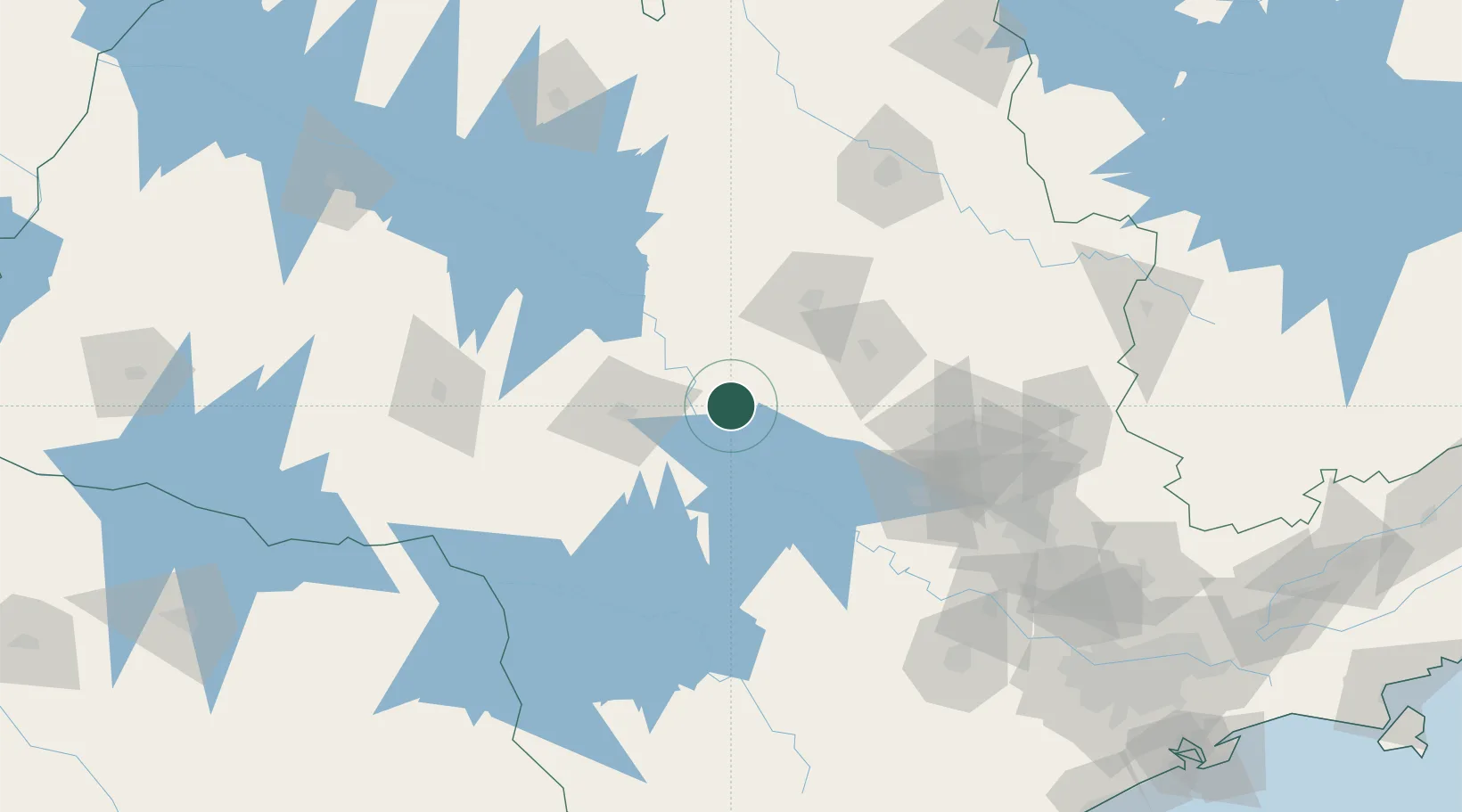
Location
Nearby Logistics Neighbours
Cities
- 1Pederneiras24 km
- 2Bariri31 km
- 3Santa Maria da Serra52 km
- 4Bauru53 km
- 5Anhembi71 km
Ports
- 1Santos295 km
- 2Paranagua358 km
- 3Sao Sebastiao364 km
- 4Sao Francisco441 km
- 5Angra Dos Reis442 km
Airports
Trade Zones
- 1ZPE de Fernandópolis (SP)284 km
- 2ZPE de Uberaba (MG)294 km
- 3ZPE de Bataguassú (MS)403 km
- 4ZPE de Itaguaí (RJ)495 km
- 5ZPE de Imbituba (SC)593 km
DatabookThe Record of Consolidated Knowledge
Brazil beyond logistics?