Transport Functions
Port
Road
Hub Profile
Place type
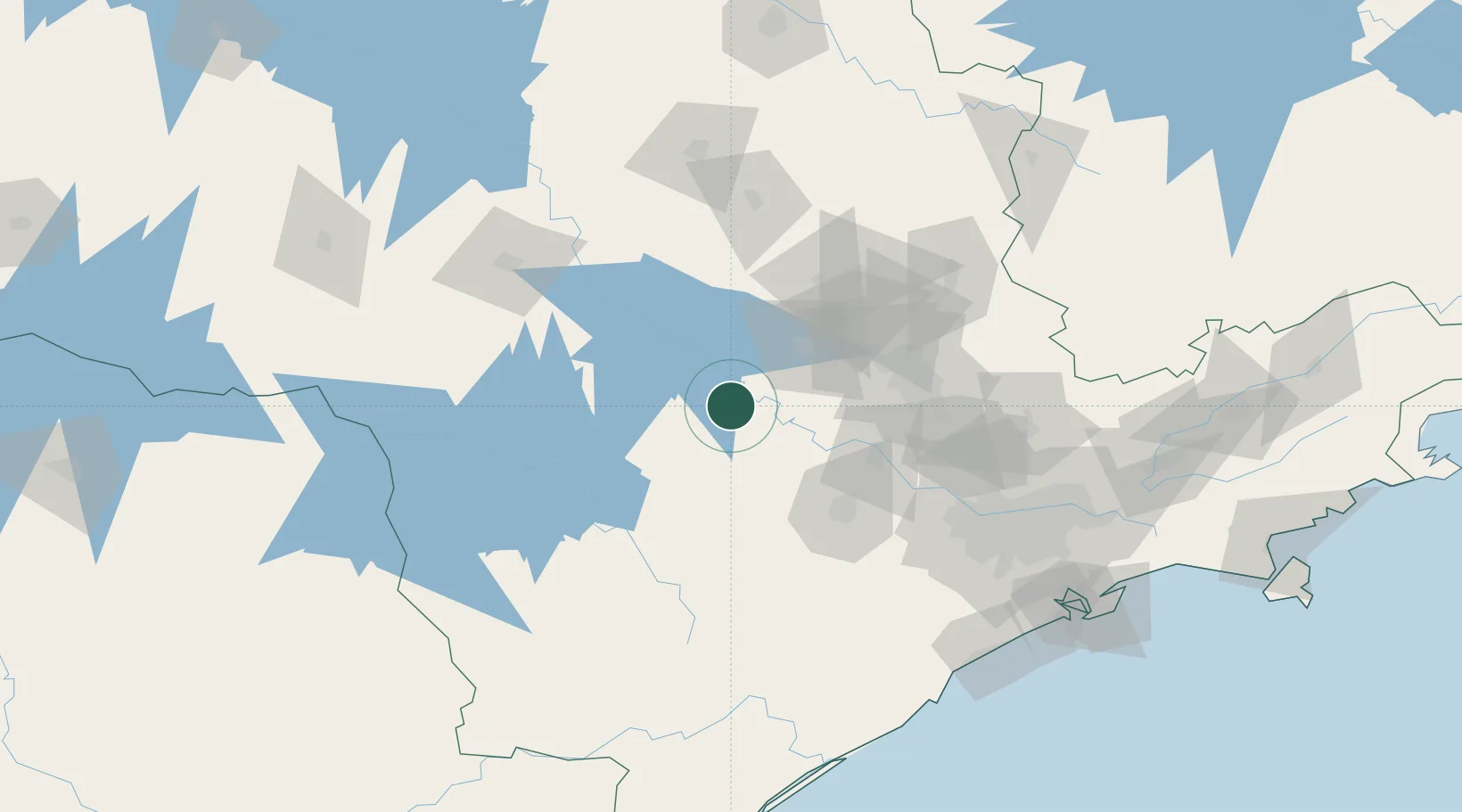
Populated place
Region
São Paulo
Population
15,232
Time zone
America/Sao_Paulo
Elevation
508 m
Location
Nearby Logistics Neighbours
Cities
- 1Anhembi27 km
- 2Santa Maria da Serra51 km
- 3São Pedro53 km
- 4Sorocaba78 km
- 5Itirapina86 km
Ports
- 1Santos203 km
- 2Sao Sebastiao280 km
- 3Paranagua283 km
- 4Sao Francisco367 km
- 5Angra Dos Reis377 km
Airports
- 1Sorocaba Airport74 km
- 2Viracopos International Airport89 km
- 3São Paulo Catarina Executive Airport98 km
- 4Campo Fontenelle132 km
- 5Araraquara Airport133 km
Trade Zones
- 1ZPE de Uberaba (MG)367 km
- 2ZPE de Fernandópolis (SP)381 km
- 3ZPE de Itaguaí (RJ)432 km
- 4ZPE de Bataguassú (MS)476 km
- 5ZPE de Imbituba (SC)516 km
DatabookThe Record of Consolidated Knowledge
Brazil beyond logistics?