Small airport · Brazil

Sorocaba AirportSDCO
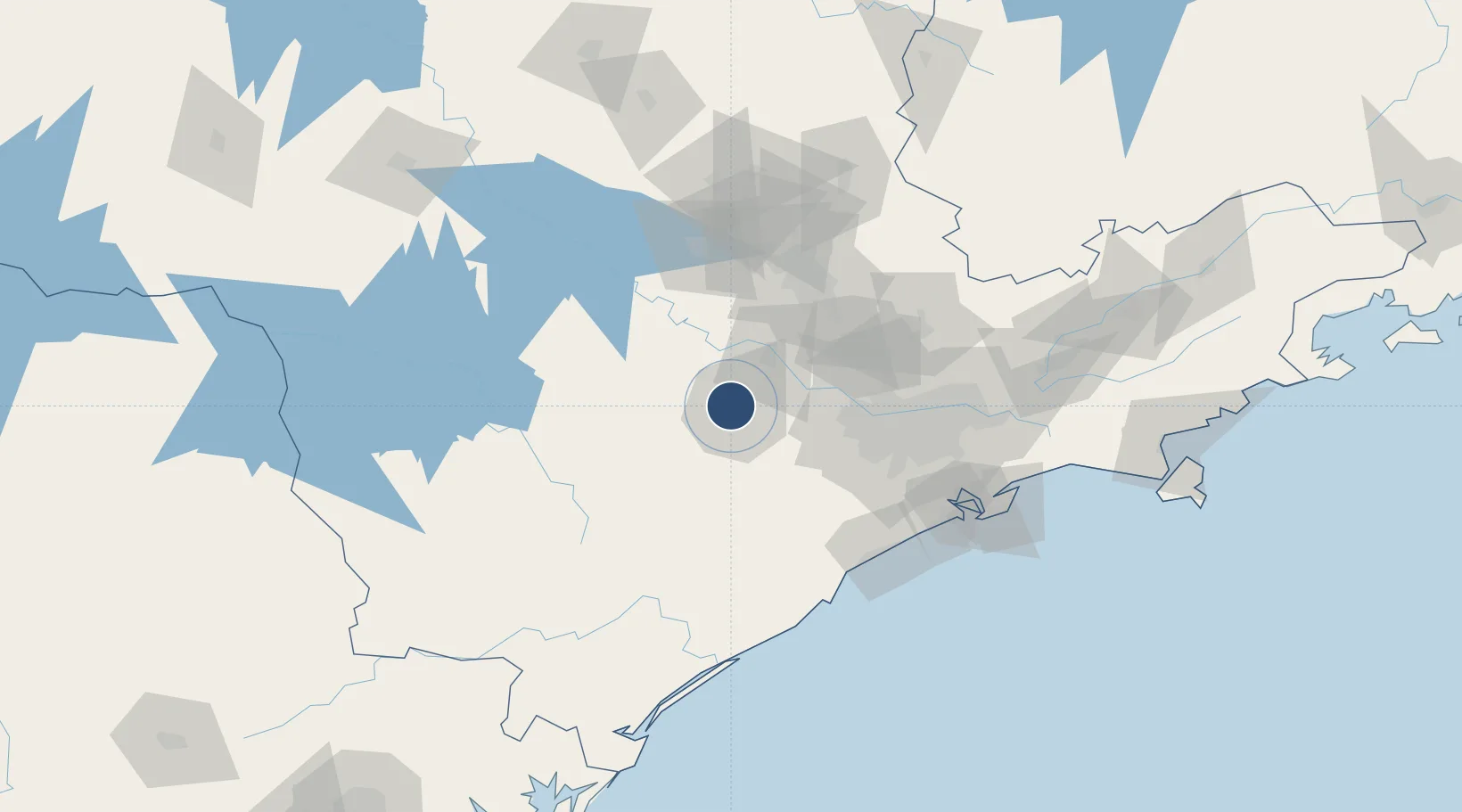
-23.4780°, -47.4900°
5,348 ft
Longest runway
1
Runways
2,083 ft
Elevation

Runway & Layout

Sorocaba Airport runway & taxiway layout
Runway & taxiway layout — OpenStreetMap (ODbL) / OurAirports

Radio Frequencies

TWR
118.8 MHz
Torre Sorocaba
GND
121.8 MHz
Solo Sorocaba
OurAirports

Navaids

SCB VOR-DME Sorocaba 115.20 MHz
SCB NDB Sorocaba 350 kHz
OurAirports

Runways · 1

RunwayDimensions SurfaceTrue headingLit
01/19 5,348 × 98ft Asphalt
OurAirports

Airport Specifications

IATA code
SOD
OurAirports
ICAO code
SDCO
OurAirports
Airport class
Small airport
OurAirports
Scheduled service
Yes
OurAirports
Runway surface
Asphalt
OurAirports
Served city
Sorocaba
OurAirports

Location

Location of SDCO
Natural Earth 10m (public domain) · São Paulo · SDCO · -23.48, -47.49GoogleOSMYandex

Nearby Logistics Neighbours

Airports
  1. 1São Paulo Catarina Executive Airport34 km
  2. 2Viracopos International Airport64 km
  3. 3Banespa República Heliport87 km
  4. 4Congonhas–Deputado Freitas Nobre Airport87 km
  5. 5Campo de Marte Airport87 km
Nearest neighbours — logibook spatial index (haversine) over the source coordinates
Cities
  1. 1Sorocaba4 km
  2. 2Barueri64 km
  3. 3Jundiaí71 km
  4. 4Conchas74 km
  5. 5Várzea Paulista75 km
Nearest neighbours — logibook spatial index (haversine) over the source coordinates
Ports
  1. 1Santos132 km
  2. 2Sao Sebastiao216 km
  3. 3Paranagua248 km
  4. 4Angra Dos Reis328 km
  5. 5Sao Francisco329 km
Nearest neighbours — logibook spatial index (haversine) over the source coordinates
Trade Zones
  1. 1ZPE de Itaguaí (RJ)385 km
  2. 2ZPE de Uberaba (MG)424 km
  3. 3ZPE de Fernandópolis (SP)455 km
  4. 4ZPE de Imbituba (SC)472 km
  5. 5ZPE de Bataguassú (MS)543 km
Nearest neighbours — logibook spatial index (haversine) over the source coordinates
DatabookThe Record of Consolidated Knowledge
Brazil beyond logistics?
Browse databook

All Sources

AirportsOurAirports
Public domain
Portsthe NGA World Port Index
Public domain (US gov)
LocationsUN/LOCODE
UN/LOCODE — free
Trade Zonesthe World Bank SEZ database
CC BY 4.0
Trade ZonesOpen Zone Map
CC BY
InfrastructureOpenStreetMap
ODbL 1.0
← Brazil airports